(Old) Shire Lane
Shire Lane, apparently, marked the ancient boundary between Mercia & Wessex (or Essex?) but now separates Bucks from Herts. But it doesn't look too disgruntled by the demotion because it had other problems to deal with, like the M25 and HS2, about which more later.
We parked at Chenies, as near to the A404 as we could – TQ 016980 – and started south, over the 404 and on to an ancient road to London used by adventurers & travellers. Everyone appeared to know that the streets were paved with gold, but only a select few such as Whittington found it; besides the drovers, of course, who sometimes found it hard to hold on to. (The stories in old newspapers of drovers losing their cash to temptresses are legion and one feels the best course of action for any Welshman with money was to return quickly to their less exciting but safer homeland.)
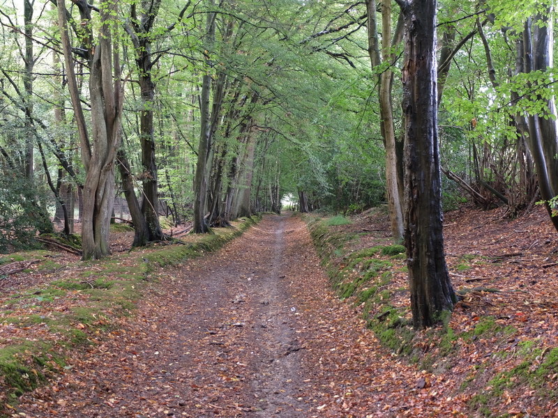
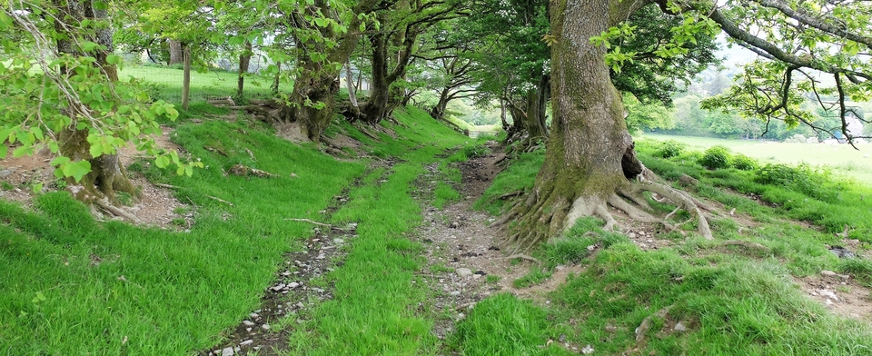
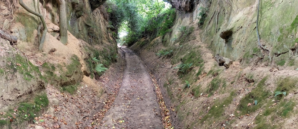
It is always hard to know for certain the age of the road beneath your feet, especially when called “Chiltern Way”, but we thought it was genuine enough. We passed through (the edge of) Halsey's Wood, under the railway and through (ditto) Carpenter's Wood (#1) – so-called because the beech trees were used to make furniture in High Wycombe after World War 2, as were the trees from Philipshill further south. Then we had a brief view of the “desirable” housing stock as we bent to the left then back again; and now “Old Shire Lane” begins.
It's a splendid thoroughfare loved by dogwalkers (#2), but what we failed to see/visit/recognise was Roughwood Park to our right, the scene of a Suffragette attack in 1913. “Roughwood House in Chorleywood was set on fire by Suffragettes, the floor having been soaked in petrol. Many people travelled just to see the damage. It is estimated that the Suffragettes' campaign of destruction caused between £1billion and £2billion worth of damage to property in 1913-14” says the Watford Gazette. The house was rebuilt and bought by a Greek family (Agelasto) who played a prominent part in the SOE in WW2…
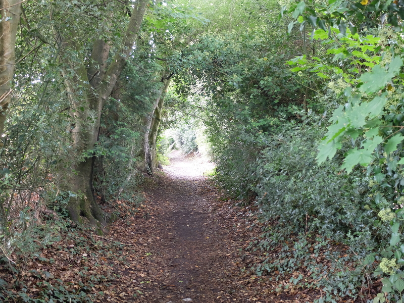
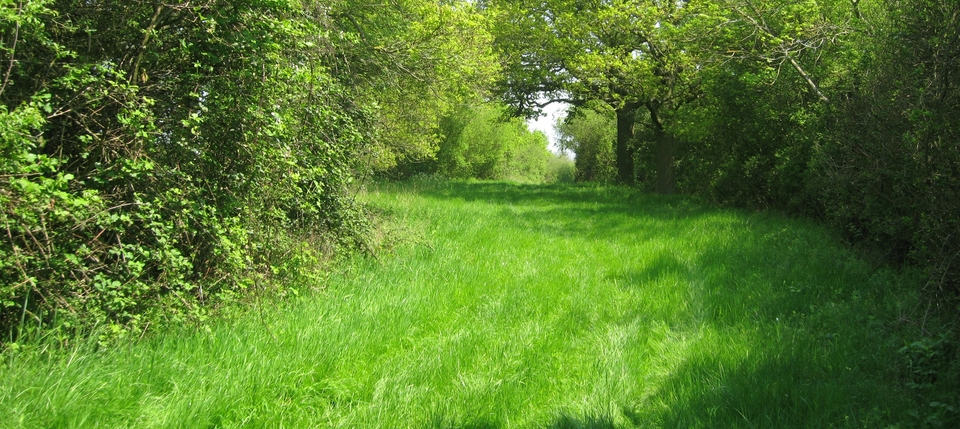
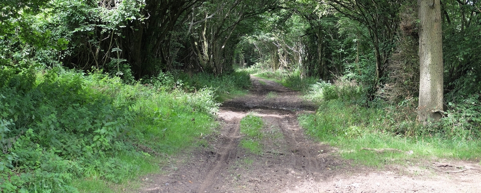
Soon comes Philipshill Wood, the best part of the walk in our opinion. #3 shows a straight track carved through the beeches. Wouldn't mind revisiting that stretch…
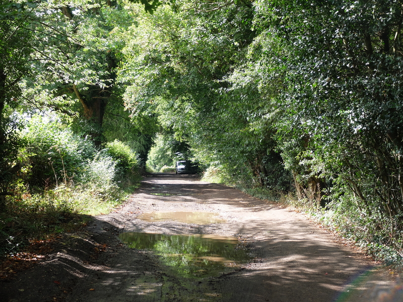
Then there was tarmac, after Newland Park, and houses! Three of them, on the left: a newbuild, one called The Cross Keys, probably an inn at one time, and finally a pub at Horn Hill that was open and ready for business – The Dumb Bell. The landlady told me the story of how it got its name…
“Nearly 400 years ago, a condemned prisoner stood in chains awaiting execution. He was much admired locally and much loved by an 18-year-old girl. The judge had told him he would die “at the ringing of the curfew”. So the girl pleaded with the sexton, whose job it was to ring the curfew, not to ring it; but the sexton was deaf to her pleas [and probably stone deaf as well]. The girl spied a ladder leading up to the bell-tower and scrambled up it while the sexton wasn't looking and held on to the clapper with all her strength. Her body was dashed against the sides of the bell as the sexton pulled on the rope – but did she let go? No! And the sound of the curfew never rang that night.” Which proves that the sexton was stone deaf.
The rest of the story tells of the arrival on the scene of Oliver Cromwell at the head of a troop of cavalry. He heard the girl's story, pardoned the prisoner and the two lived in matrimonial harmony etc.
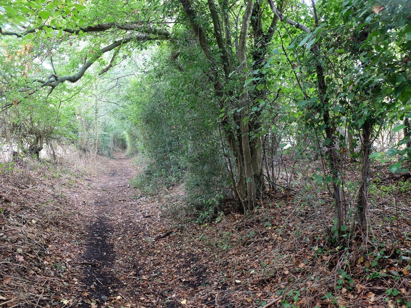
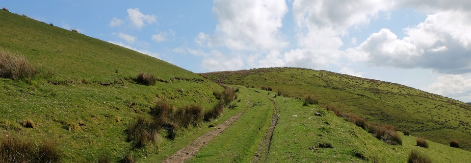
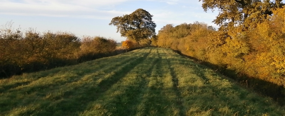
We kept on towards the M25, making sure we aimed for the crossing at 022916 rather than the one to the north of it. The correct one is marked "Denham Lane" (I think) but it's hard to see the signpost, anyway. But if you're in open country walking across fields, that's the one you do not want. #4 shows the correct path.
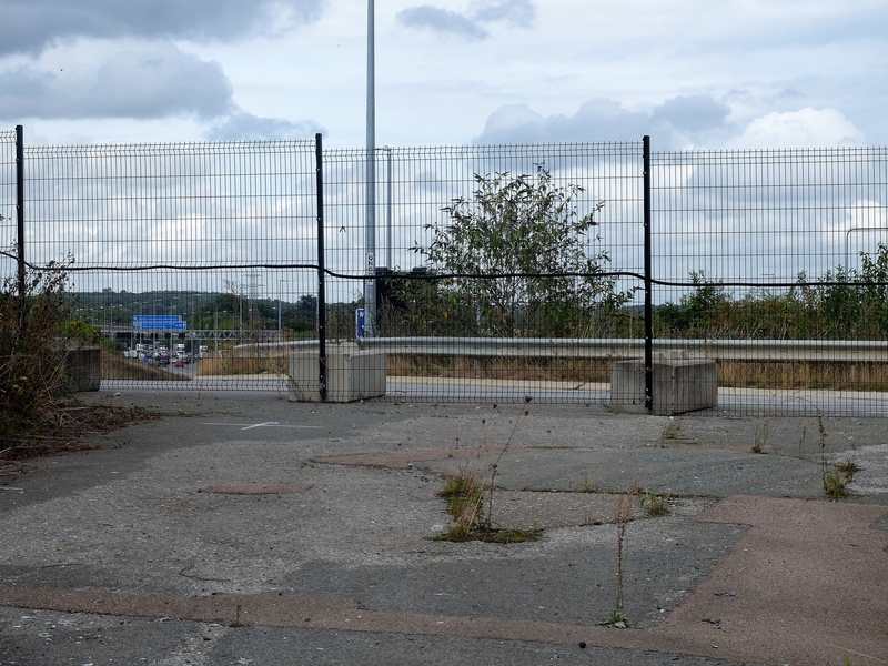
But that was nearly the end, for us. HS2 had blocked the way over the M25, as far as we could see. We got as far as the caravan site at TQ 018926 when we met “no access” signs, padlocked gates, mobile offices and all the rest of the paraphernalia that blight the modern world (#5). (We have since been told by Nick Gammage that there's a way underneath the motorway, but we never saw it…)
Nick actually inspired us to go on the walk. He had taken a troop of (many quite aged) WI members along the same route the week before, and before that he walked from the Preseli Hills in West Wales to Chesham, then on to London.
As for HS2, words fail me. What an appalling waste of money: all that was needed was a four-line track all the way from London to Leeds, Manchester etc. Slow trains use the outside tacks, fast trains the inner ones. Instead, they have wrecked the most lonely and beautiful tracts of England to build a white elephant. It makes me so angry.