Oxon
The London-Worcester Road (A44)
The old road described by Ogilby went: Uxbridge, High Wycombe, Tetsworth, Moreton-in-Marsh, Broadway, & Worcester before continuing via Leominster to Rhayader & Aberystwyth. Right through the centres of England & Wales, in other words. Ogilby called it 'The Great Road'. It's referred to as 'The Driftway' in one enclosure map. The route is now covered, nearly all the way, by the A44.
Two stretches not on the A44 are the Oxford bypass through Islip (now the B4027) and a marvellous walk that starts outside Glympton, having broken away from the B4027 at Blue Barn (SP 437 206), three miles north of Woodstock. It's tarmac through Glympton but becomes a bridleway at SP 421 243. That's where to start the walk.
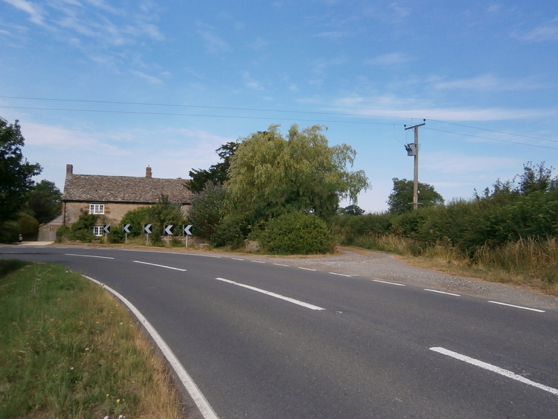
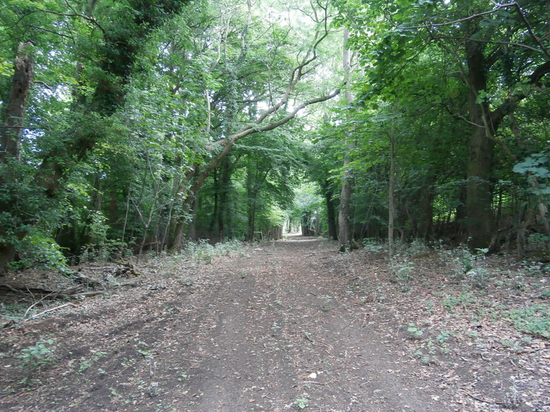
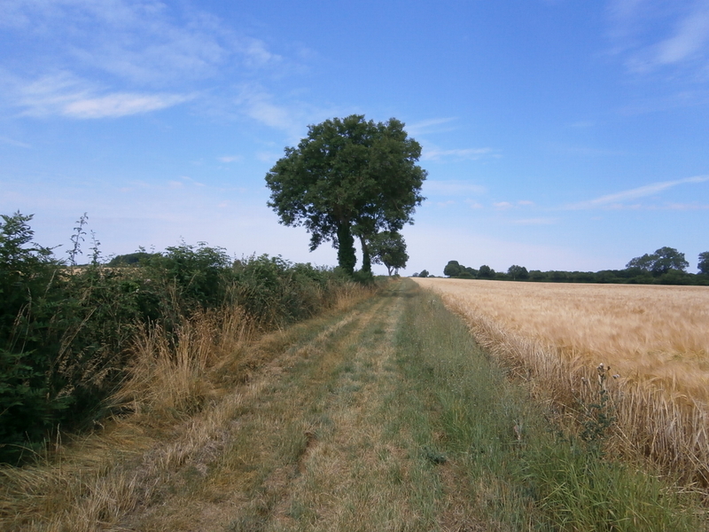
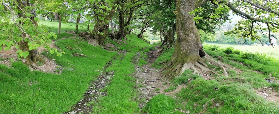
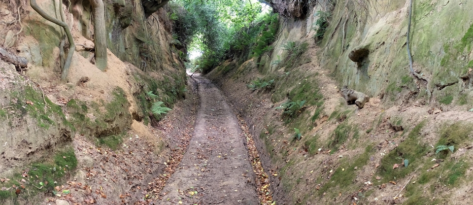
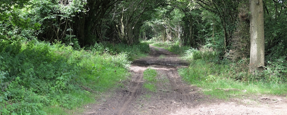
At first it's not too impressive, but after crossing the B4030 near Cuckold's Holt Farm (Fig.1) - an early 18th century drovers' inn then called the White Hart which was open for business as late as 1988 - it becomes a majestic highway as it skirts Enstone Airfield. Tall oaks and ashes either side of the wide track leave one in no doubt that this was an eighteenth century ‘A Road' (Fig.2,3). Drovers certainly would have used it – Broadway was an important market for them - but in the 18th century they would have been brushed aside by coaches racing down to London from Wales and the Midlands.
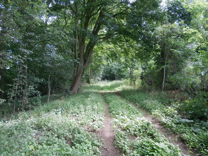
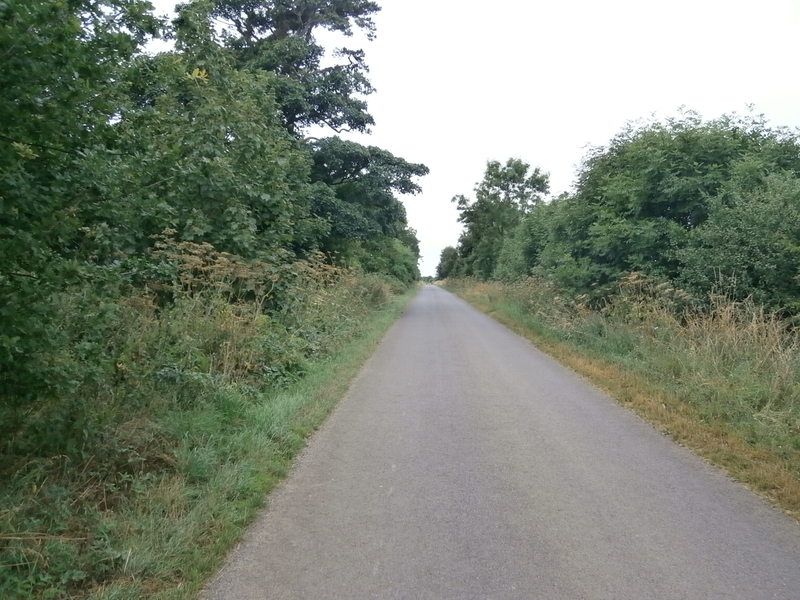
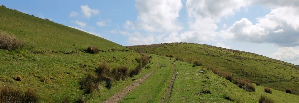
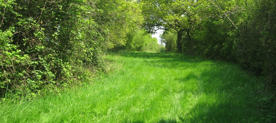
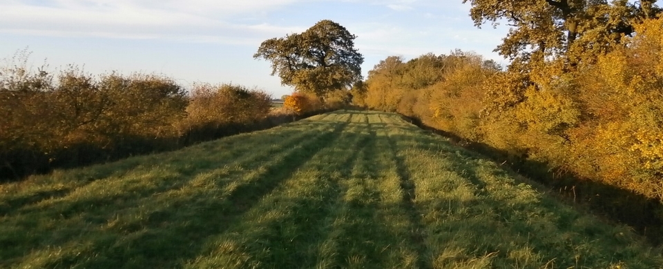
Then there are two miles of (charming, traffic-free) tarmac (Fig.4) before we are back on green lane again for a mile. This time we go through fields, where the trees – and the path in places – have disappeared (Fig.5). How ironic to realise that the presence of that wartime airfield, which I thought at first was going to be a blot on the landscape, has stopped intensive agriculture and thereby preserved the trees and the old road.
Finally we hit the busy A361 near Banbury Lodge (SP 337 287) and the walk is over.