Henry Lee Uff
There are few records of drovers at the Centre for Bucks Studies1, but one was Henry Lee Uff, who had the misfortune to go bankrupt in the 1820's. Two books detailing his weekly income & outgoings on his routes to & from London are amongst the records of Insolvent Debtors in the Quarter Sessions Papers.
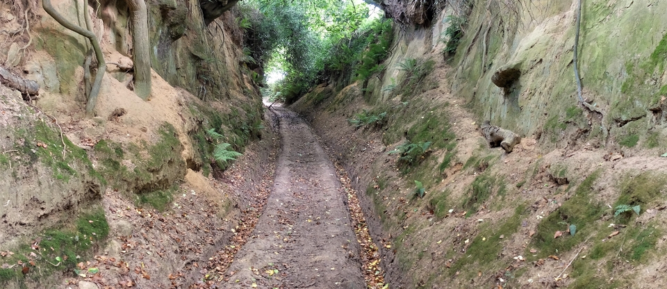
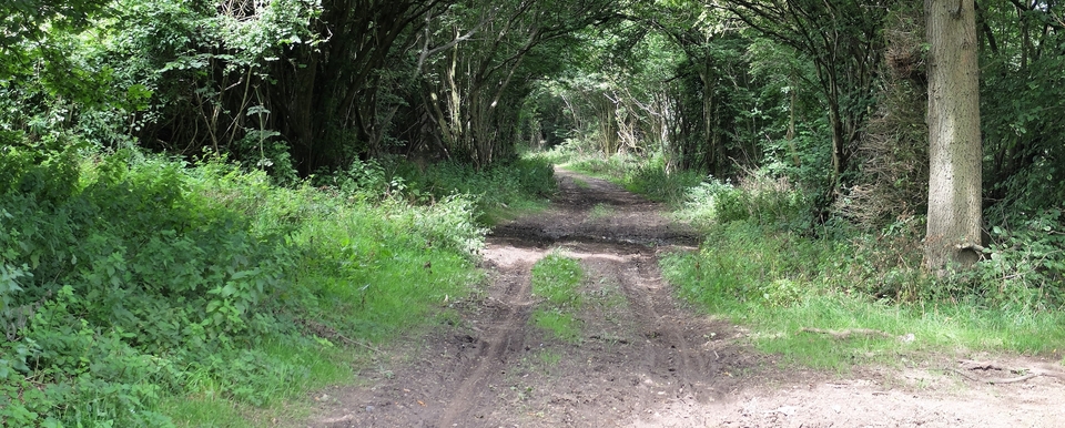
The main route Uff used was to Aylesbury, Missenden and Chalfont, ending up at West London markets like Uxbridge. In other words, he used the turnpike that is now the A413, although he swerved south to avoid Waddesdon.
His fortune turned for the worse in 1825. He writes at the end of May: The two months past lost by bad market at London: £19-0-0
He continued to trade, because he mentions payments at “Ivehouse”2 between Amersham & Chalfont on 8th Oct. & 19th Dec. 1825, but debtors' prison claimed him, probably the following year. He didn't emerge till August 1827.
Until 1833, no distinction was made between the fraudulent and the unfortunate and of course there was no hope of repaying one's debt from inside. So how Uff was treated is a matter of conjecture3.
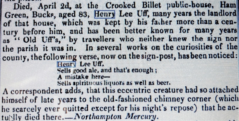
There is a silver lining, however: for probably over 50 years his family had run an inn 9 miles east of Bicester on Akeman St. The Crooked Billet (#1) at Kingswood is shown as a “Parish House” on a map of 17434 but must have become a pub shortly afterwards if the (humorous) report in the newspaper of HLU's death in 1836 is true5.(#2) The obituary was reprinted in 11 newspapers from Ipswich to Carlisle.
(Drovers are reported as fighting there in the Bucks Herald of 13th June 1840 and David Jonathan records his visits there several times.)
The centre of Uff's activities was the village of Ham Green6, which lies on the crossroads of Akeman St. and the Oxford Lane, which made it an important meeting place for drovers on their way to Aylesbury and Oxford. #3 shows a 16C map of Ham Green, like a child's drawing and with South at the top. An unidentified stream runs from top R to bottom L, crossed by Akeman Street; the "Oxford Waye" meets it, but hesitates to cross John Beck's land. The houses of Ham are in a line at the top, like beach huts.
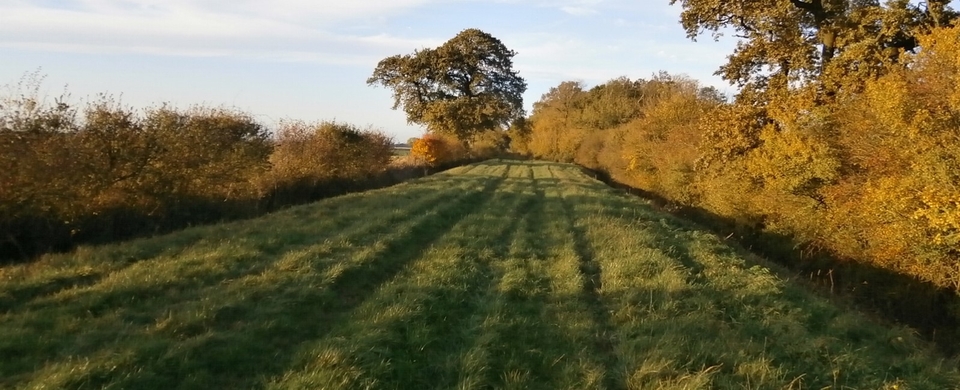
John Uff, HL's grandson7, is described as a ‘victualler & grazier' in 1847 when he was up before the magistrates, so there was a stance for beasts. Perhaps the Oxford Lane itself was a gated ‘linear meadow' where beasts on the move could graze? They also advertised timber, so may have been acted as stewards for the Duke of Marlborough who owned the woods at Ham4. John ran the pub till his death in 1859, when his widow Mary took over.
.
Ironically, we would know little or nothing of HLU's travels had he not been imprisoned for debt.
1 My thanks to Jillian Scott for this article. She extracted this information from a paper by June Wailling.
2 The pub is “The Ivy House” is at SU 983957. It can be seen on the 1770 Jefferys map of Bucks., but on the opposite – i.e. the right going south. On Bryant's map of 1825 it has moved across the road and is called “The Hut”.
3 The vicious circle is dealt with in Dickens' Little Dorrit.
4 See #1 in “Oxford Lane – 3” on this website.
5 Uff's account book shows shows payments for ale and pasture at The Crooked Billet. Why, if the pub was owned by his family? (The pub still trades today.)
6 Demolished by the Stanhopes because they wanted a better view, I read in one source.
7 Thanks to Pat Pond for putting me right here. I thought they were father & son.