LB to Watling St.
Leighton Buzzard to Watling Street
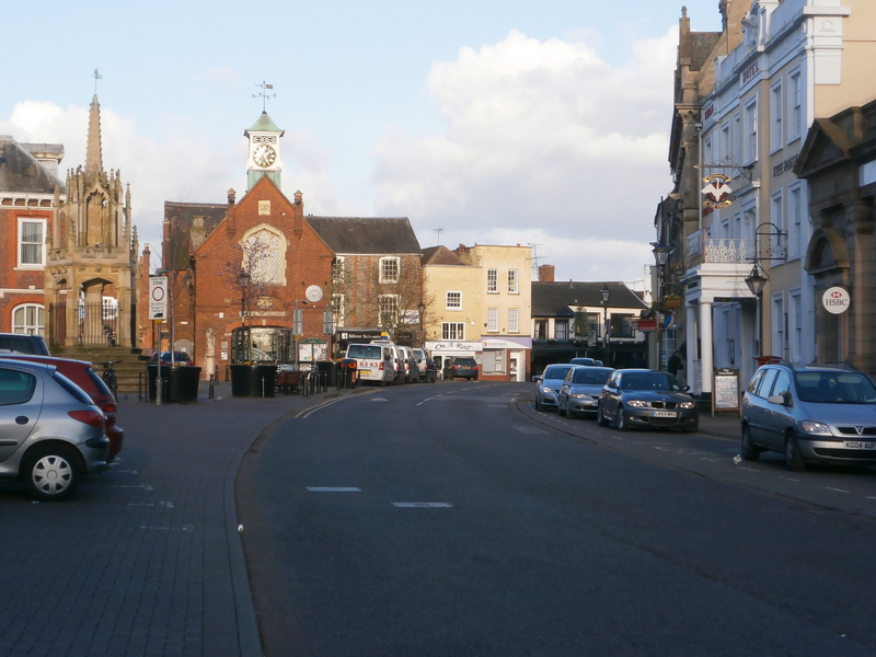
Leighton (#1) was an important cattle town from early times. Cattle routes from all over the South Midlands converged there; it was green, green all the way. Drovers stopped at LB to exchange news about routes, inns and fairs – and, of course, to buy & sell. Their first stop was Southcott (then South Court) at Linslade on the western edge of the town. The grazing land there was owned by four farmers in the 1841 Census before being bought by the Rothschilds.1
(Other reminders of droving history in LB: a cattle trough by the side of the canal and ‘Drovers' Bridge', long gone, 100 yards south of the lock.)2
From earliest times Market Day at LB was Tuesday, Barnet's was Thursday, and Barnet was two days away. It all fitted in well...till 1595, when Barnet changed its Day to Monday. There was consternation: LB complained about ‘loss of livelihood', took the Barnet authorities to court, and the case went all the way to The Lords! (The verdict, in LB's favour, didn't come in till 1630, by which time Barnet's importance as a cattle market had faded, so it was hardly relevant.)3
The routes from LB south-east are legion: Peter Mayne from Eaton Bray favours the Stanbridge to Tilsworth route, but Tom Daly says most left the town by Lake St. – there was a ford over what is now Clipstone Brook – to cross the river at Stanbridgeford to Totternhoe. There were huge areas of pasture in those lowlands.
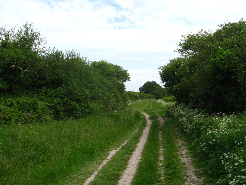
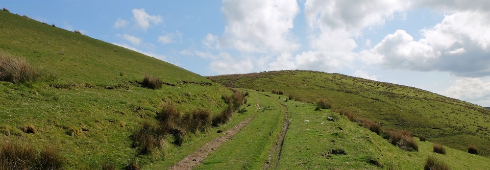
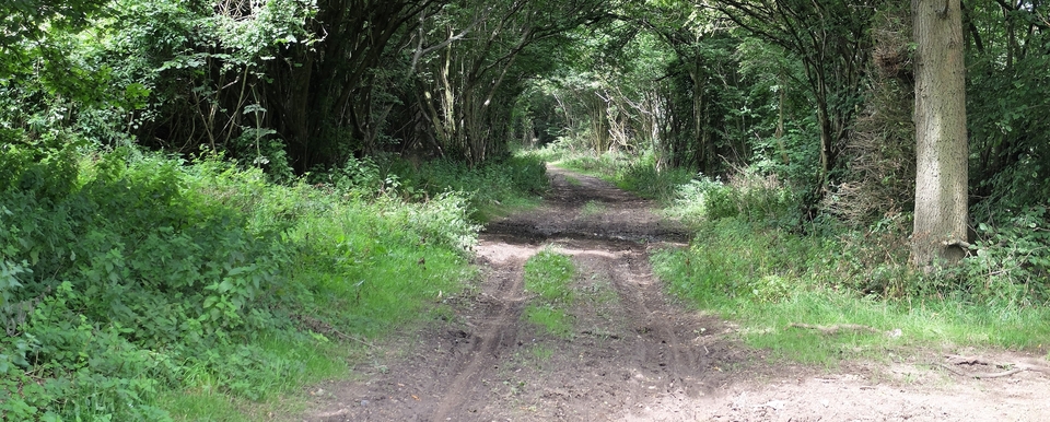
Many paths invited them eastward from LB, including those through the limestone quarries. (#3 is from the track sometimes called "Drovers' Way" at SP 995225 The 'Coldharbour' no longer exists.)
Any journey across to Watling Street north of the Chiltern Ridge would have joined the Roman road south of Turnpike Farm at SP 042198 to avoid the toll there. This might have meant using ‘Beech Road'4 which runs south from Stipers Hill to Kensworth Lynch (042183).
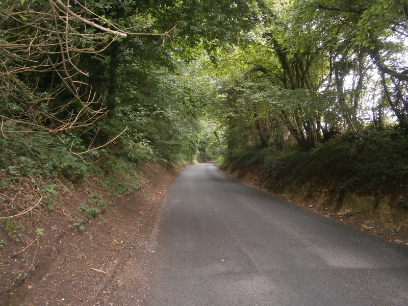
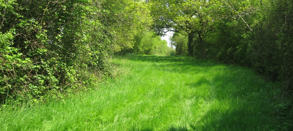
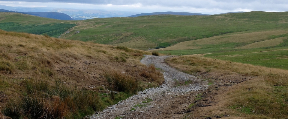
Further south, the route was up Bison Hill, past Whipsnade, then down Buckwood Lane to Markyate.5 The lane is lined with hazels (#2), coppiced by drovers to provide fodder at manageable height.
On Watling Street north of Markyate is Trinity Hall (988254). The ground between TH, Tebworth, Hockliffe & Battlesden was crisscrossed with tracks and studded with holding-fields; it is ideal pasture. Bull Farm (978262), a 17th Century inn, was the drovers' tavern of choice: it was surrounded by 2-3 acre enclosures for the beasts6. Cattle bought at Leighton would be shod at The Bull before they trod the Roman road.
When rail was king, the farms in the Trinity Hall area were all tenanted by cattle-dealers: Bunker & Co. (TH); Harry Randall (Battlesden); Dolemore (Tebworth) – all well-known & respected tradesmen. On Sunday evenings 150 years ago, cattle stretched in continuous lines down Watling St. to Dunstable Station for their overnight journey to Islington Market. Trinity Hall was such a huge farm that the first beast had reached Dunstable station before the last one had left TH, says John Trimmer.
And then there's the Hemel Hempstead route. Another story...
1 The family was ‘big' in the area: Waddesdon & Mentmore are close.
2 My thanks to Ivor Gurney and Tom Daly for this information. Tom also said there was a ford across the Ouzel where it meanders behind The Globe Inn (which must have seen many drovers).
3 Thanks to John Trimmer for this, and much more.
4 Possibly a corruption of ‘British', i.e. not Anglo-Saxon, inferring Scottish or Welsh.
5 From the Old English mearc + geat = boundary gate. Markyate is on the Beds./Herts. border.
6 I have been shown a "Slipe Field" on a farm nearby.