Buckingham 2
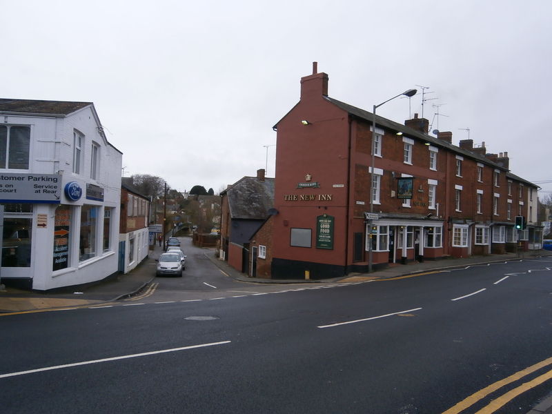
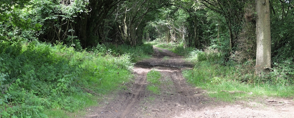
The second Buckingham route, taking the droves to Essex or Barnet rather than Uxbridge or Kent, starts at The New Inn on Bridge and Ford St. (#1). By the 1740's the pub would have been used by drovers using the new turnpike to Padbury, Winslow & Aylesbury (now the A413). Before that, it pointed the way up Bourton Road (opposite the pub and invisible in the picture), which meanders out of town following yet another loop of the Ouse, a river that seems determined to cater for every street in town.
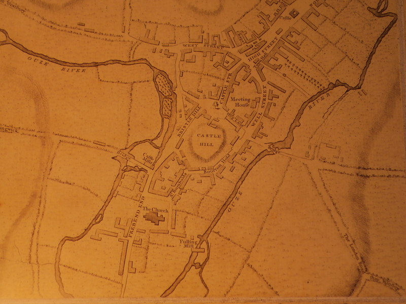
If you follow Ford St. through the gap in the picture, you cross the Ouse - inevitably - and find The Woolpack, a rebuilt 13th century inn on the corner of Ford & Well Streets, where the old sheep market was - note 'Bourton Hold' on the 1770 Jefferys map (#2), probably for gathering the beasts before the trek to London.
The Woolpack escaped the disastrous fire of 1725 that destroyed 138 medieval houses in central Buckingham. Ed Grimsdale tells me that the dispossessed were put in wood and canvas shelters to the north of town, where the families remained for 100 years till Lord Cobham built them permanent homes on the old ‘Cow Fair' site. One hundred years! Almost a Middle Eastern scenario.
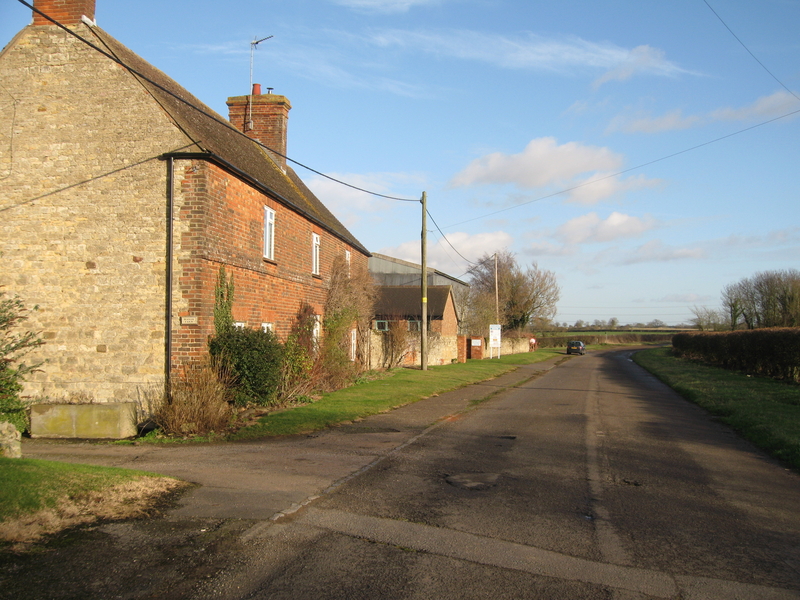
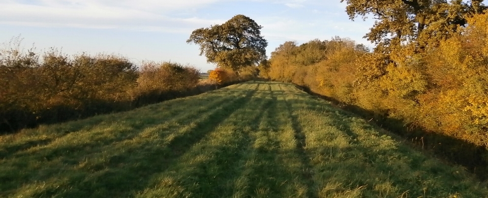
Bourton Road, the old route to Bletchley, is opposite The New Inn so not in #1. It's the road going almost due east on the Jefferys map and is labelled 'To Thornborough'. It weaves its way feebly through a housing estate to Bourton Manor Farm (#3), then joins the A421 at SP 715 334 and puts some backbone into that road, especially after The Lone Tree at 737 333 where its Roman nature comes out. It was known as 'London Way' before the A413 turnpike to Winslow was complete.
West of the Lone Tree, at 726 330, is Bourton Grounds, which is marked prominently on the OS map of Roman Roads. Originally a Roman villa? I've read that the tumuli north east of it were originally a Romano-Celtic temple built to mark the meeting of five Roman roads; and that the contents of the mounds have been dated from coins as 'late second century'. There was a Roman ford across the Ouse just north of the present bridge.
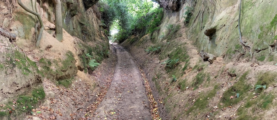
(The old Thornborough Bridge is one of the most beautiful medieval structures I have ever seen (#4). It is worth a detour, I promise. Easy car parking and interesting information boards.)
If they could afford the tolls, drovers stayed on the ‘London Way' for another three miles. Then, a mile after Singleborough, they veered south east – unless, presumably, they were on their way to Essex. (Stock with little value as meat was often driven eastwards to provide manure. Also I was told that sheep were driven to East Anglia for their wool, shorn, then driven back to Buckingham! Sheep may thrive on exercise, but that seems a cold and weary way of doing things. Perhaps I shouldn't believe all I'm told.)
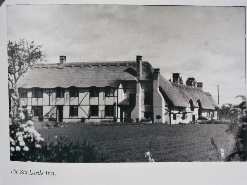
Back to Singleborough: there used to be a pub there called The Six Lords on the junction at SP 769 324. In 1605 the manor was inherited by John Argall, who had large estates elsewhere* and was therefore uninterested in this unproductive piece of Bucks., so the six families then living in Singleborough clubbed together to buy it from him - in 1606. Despite the three sixes, luck held out till 1947, when the pub burnt down. (Fire insurance premiums around Buckingham must be astronomical.) It is now a daycare centre.
It is mentioned as ‘Singlbury' in Roderick's account book of 1838. But what a magnificent inn!
Thornborough must have been on a regular route to London: it has a “Cat Lane”, short for ‘cattle', leading up to the A421 - for a discussion on where Cat Lane actually was, see Thornborough page - and the Thornborough-Nash-Whaddon Road would be a sensible route to Leighton Buzzard and Barnet.
(The other turning south off the 421 to Leighton was never Pilch Lane, as I previously wrote, but at SP781323, the "mile after Singleborough" I mentioned four paras earlier, where what is now a footpath branches off south-east to join the Little Horwood Road. It is clearly marked as a road on 19th century maps. It probably never touched LH, says farmer Jeremy Bull, but kept west of the village before going on to Mursley.)
So what was the point of all this detour? To avoid tolls on the 421, of course. I imagine they would have been hefty, especially at Thornborough Bridge.
* Thanks to Sandra Smith for taking the trouble to email me this information about Singleborough.