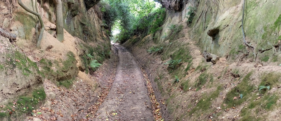
Sewstern Lane #3
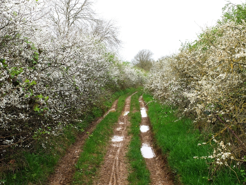
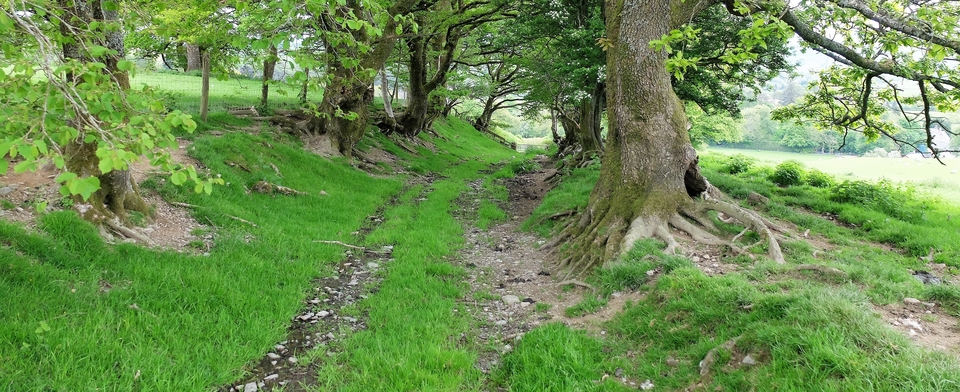
Ten years ago we walked the Sewstern Lane for the first time, and were intrigued by its width, majesty and never-endingness; last week (April 2024) we revisited the King of Lanes and found the best stretch of all. How did we miss it before?
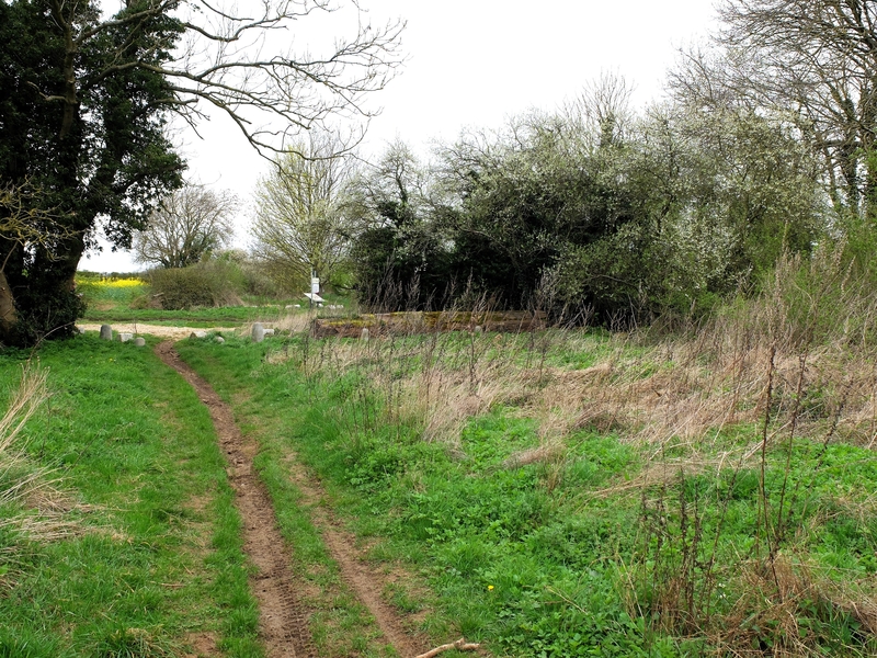
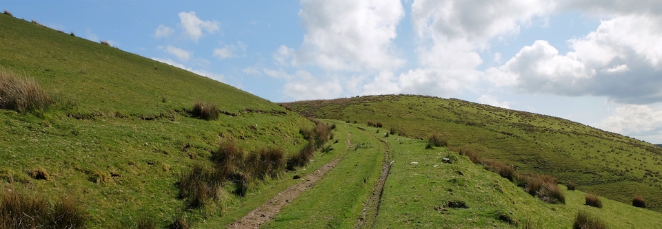
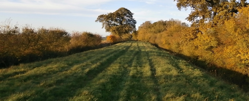
We started outside Skillington, on the Sproxton Road, at SK 882257 and walked North to The Three Queens at 860297. As usual, we seemed to be walking in the opposite direction to the Scottish drovers, who had brought their cattle southwards to St Faith’s Market, outside Norwich. No matter. We had smashing weather – unlike Wales & the West Country – and the Nature Reserve either side of us seemed to be enjoying it too, after months of rain (of which there wasn’t a sign that day).
It was blackthorn season (see #1) and rarely have my arms swung with more enthusiasm, but the first really interesting spot we found was an old WW2 airfield (Saltby). It’s now used by a gliding club, but in 1944 the 2nd Battalion of the Parachute Regt took off from Saltby for Arnhem (“The Bridge too Far”) in the ill-fated Operation Market Garden.
(The British hero was Lt Col John Frost, O/C the 2nd Battalion, whose men were the only ones to complete their objective and arrive at the bridge. Unfortunately, two SS Panzer Divisions were awaiting them there…
The Polish hero was General Sosabowski of the Polish Parachute Brigade, who had served in World War 1 and made his first parachute jump aged 49! He was against Market Garden but, once in Holland, tried to convince Horrocks to assault German positions and so break through to The Rhine. His plan was not accepted and Montgomery blamed Sosabowski for the failure of the operation – the usual reaction of the Top Brass to “difficult” subordinates.)
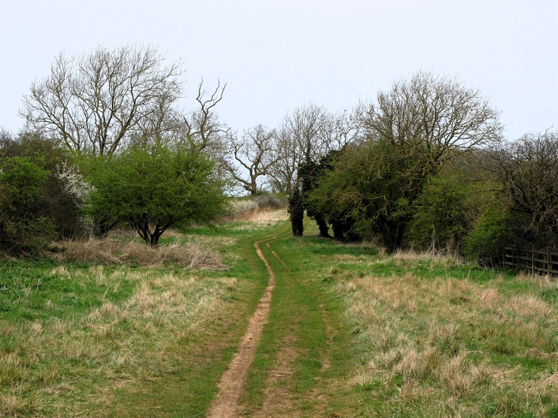
After Saltby Airfield, it was a return to grass – but there was one more Historical interruption at SK 8628: King Lud’s Entrenchments. We didn’t turn left on to the path to Croxton Kerrial to see them in detail – Why not? It would only have cost us a few minutes – so the write-ups below are from the internet.
1 King Lud 's Intrenchments; an undated linear earthwork of rampart and ditch forming part of the parish boundary on Saltby Heath . Lud was a legendary king of Britain who appears in Geoffrey of Monmouth's Historia Regum Britanniae as the eldest brother of Cassivelaunus . He succeeded Heli , his father , as king of Britain , replanned and rebuilt its capital Trinovantum and renamed it Kaerlud , later Kaerlundein , eventually London . Supposedly , he was in time buried at a gateway of his capital , now remembered as Ludgate…
2 Its construction involved the movement of huge quantities of earth and therefore the deployment of a great deal of manpower. The banks are up to 0.75 metres high and the ditches are on average 8 metres wide. They are best seen at their eastern end where there is a gap in the hedge close to where the minor road from Croxton Kerrial joins that from Saltby. The purpose of such earthworks was to mark important boundaries in the landscape and King Lud’s Intrenchments may have been part of a large prehistoric boundary system extending from Northants to the Humber. Although long thought to be Anglo-Saxon in origin and identified with the Kingdom of Mercia, its prehistoric origin is now thought more likely.
So, there you have it, in a couple of nutshells. (I like the idea of Ludgate Hill. I looked up place-names beginning Lud- and it mentions a man named Luda or a noisy stream as the derivations. No Lud, though, unless he was also known as Luda. Shame.)
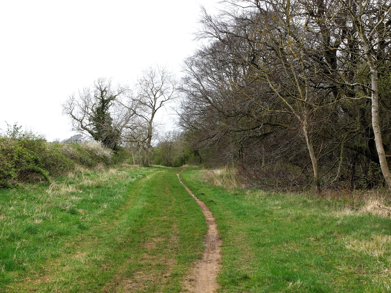
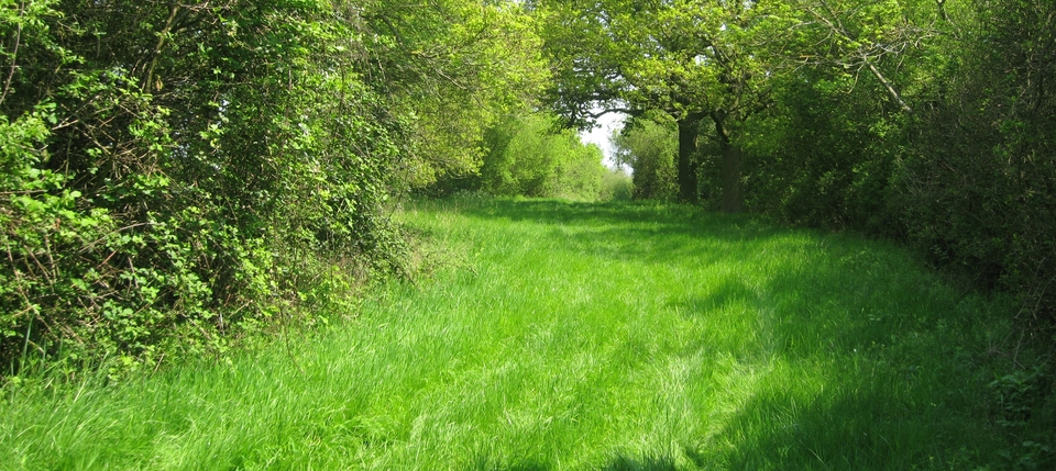
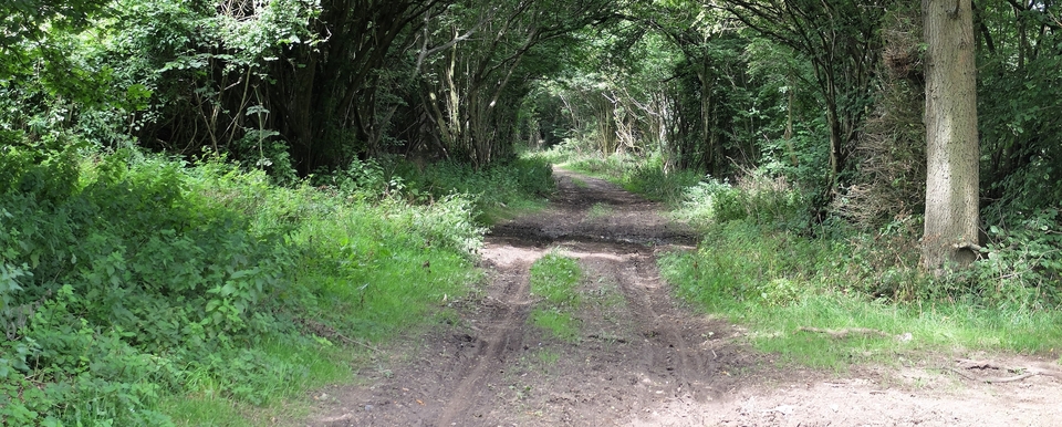
Back to grass and arm-swinging. The lane seemed empty as usual. We had been told about guys on quad bikes, whom I was determined to tell off if we encountered any. And a fat lot of notice they would have taken of me.
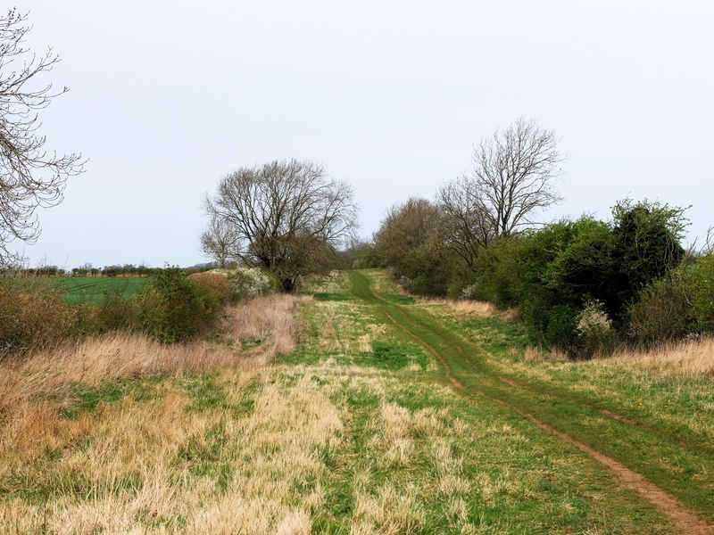
Finally, we arrived at The Three Queens, or the site of it, mentioned as far back as the C15. The Queens were probably a trio of prostitutes who served (in whatever way you want to imagine) the drovers who stopped there. Being on a county boundary (Lincs/Leics) meant that the forces of Law & Order, then more locally based than now, could be evaded merely by stepping into another county. Rather like the American States, but without the FBI.
The inn was on the crossing of the drovers’ lane and the Saltway (to Grantham?), so there would have been plenty of custom - till the railways arrived. Once the slide started, the pub was converted into two cottages; then bought by the owners of Hungerton Hall (south-west of Grantham) in 1939; finally demolished, probably around 1950. (HMG offered grants for the demolition of sub-standard homes. Grrrr!)
The last occupants of the farm were the Gleeson family.
(I have a picture of the farm, taken from The Grantham Journal, May 1996, but it's turned out as a b&w outline only, showing a two-storey house with a tall chimney at one end. No point in reproducing it here, but I'll send it to anyone who is interested.)
Great walk.