Mastiles Lane (1)
My great fear is to underplay this marvellous path across the Yorkshire Dales.
I owe our experience in The Dales to Maggie B. Dickinson, who wrote to the website at the start of the pandemic: “The route from Kilnsey Crag, along Mastiles lane to Malham Great Close is particularly fine.” Never a truer word, because we had never seen such a majestic drove road in such majestic countryside. And we were lucky enough to be staying in nearby Grassington for the week, visible from almost anywhere when map-reading led us astray.
Built as a military road by the Romans to subdue local tribes, Mastiles was then used by the Cistercians, the experts in wool, taking their sheep from Bolton Abbey to summer pastures – so it was also known as “Old Monks’ Road”, with the Old referring to the Road rather than the monks, I presume. It was finally used, we know, by Scots drovers. (The “continuation” of Mastiles to the East, at Conistone (SD 982675), called Scot Gate Lane, was used to take beasts east towards Ripon with a further option to continue south to East Anglia, Maggie says.)
But Wow, was it hot that week! We made the mistake of starting out too early in the day, hence ML is in two parts. Oldies can’t take the heat, I confess. Later walks started well into the afternoon.
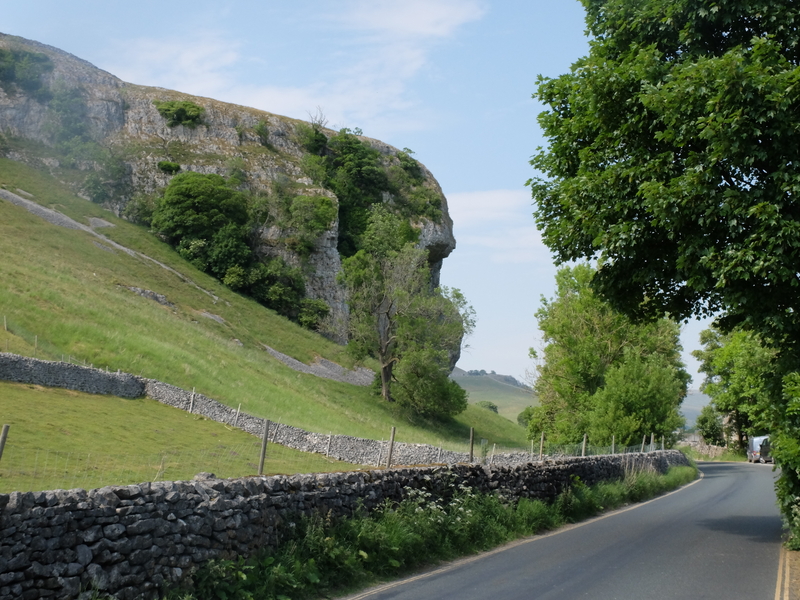
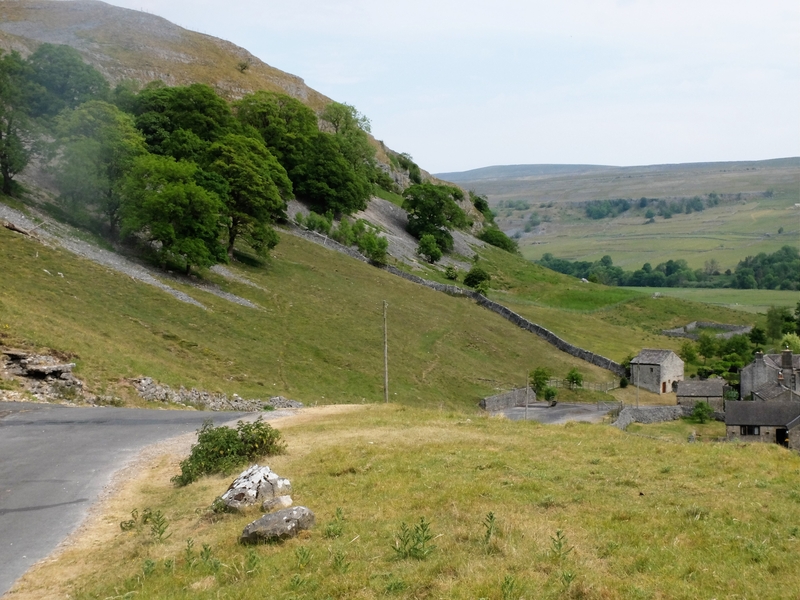
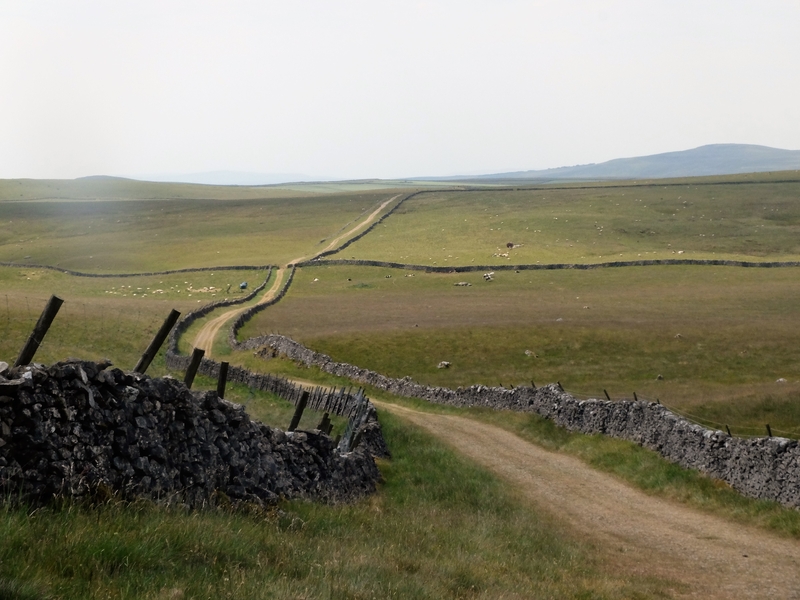
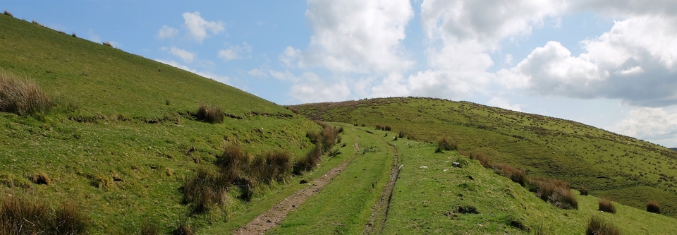
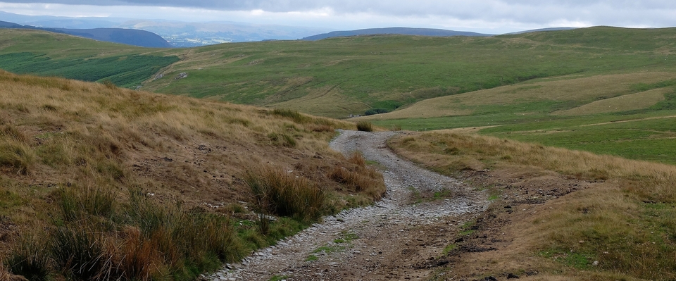
We started at Kilnsey Crag (#1) and after a chat with a crag-climbing couple – one from Milton Keynes, the town the kids I once taught used to think was the capital of the world! – walked back to Kilnsey and took the road to the left of the Tennant Arms (975677) going up and up (#2). And here we began to realise what Maggie had been talking about. It was a stunner: empty of all except sheep, a few cattle, stones and empty skies. And larks, which I can never hear. (I was asked once by an audiologist whether I’d been dropped when I was young. I should have been, I said, but as my memory is pretty faulty I can’t guarantee that I wasn’t. End of consultation.)
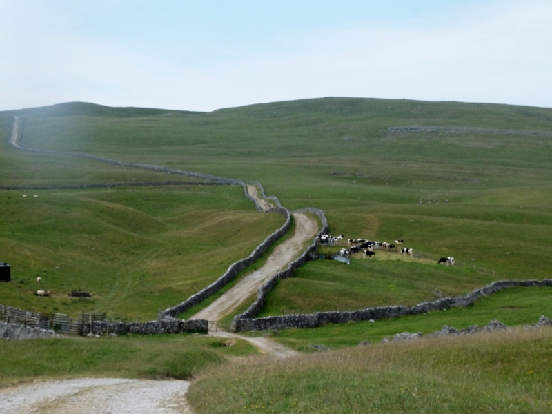
I had been waiting to see what one – I think – only sees in the North: the parallel stone walls of a drovers’ track… and here they were. What a glorious sight (#3), but the reason for these walls is not so glamorous. “During the various Enclosure Acts”, says Maggie, “especially when the rich had acquired the common land, the crofter was employed to fence himself1 off from his former right to graze his stock and the resulting Industrial Revolution saw the countryside drained of former handloom weavers…” Horrors. I know that hard-up folk these days wouldn’t be interested in such remote history, but there were no handouts then, no foodbanks. Unless you came from a wealthy family, you were on your own. I had never realised that the tidiness of the landscape had been the result of enforcement…
Maggie goes on, “We know this was part of the Galloway Gate (drovers’ road from the Mull of Galloway) which brought beasts down from as far west as Portpatrick…” Interesting: Portpatrick almost touches Northern Ireland, so were Irish cattle involved? They were certainly popular with English drovers and buyers, especially in East Anglia…
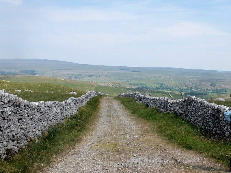
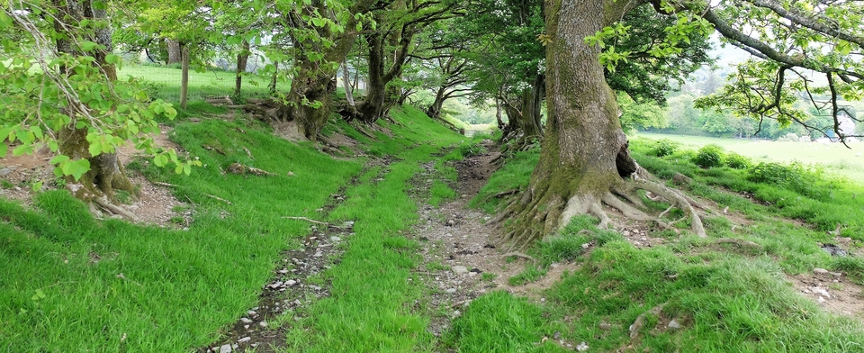
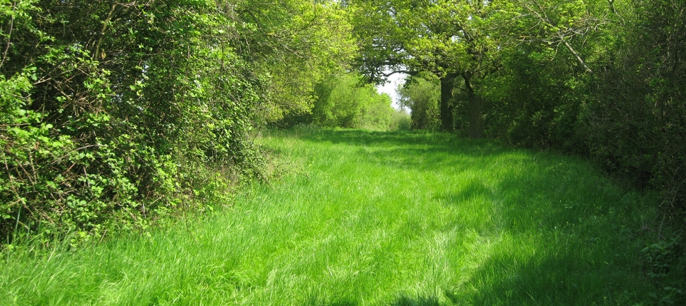
What a day to be walking, despite the heat. #4 and 5 continue the walk as far as we went, but next day would be Mastiles 2, we promised ourselves – but after a later start.
I haven’t done the road justice because I don’t think anyone can. It is pure delight. Thank you again, Maggie B. Dickinson.
1My italics