Romney Marsh
First, let me say that virtually everything on this page is from Jak Showell, an enthusiast from Kent who wrote to me via the website. We spent a smashing day with him touring The Marsh.
It became a Tour of the Churches. The Church, which owned and managed The Marsh until about 200 years ago, was originally responsible for making it habitable and many churches were built on a collection of small, low islands – Venice comes to mind! – using the usual slaves, monks & nuns, to do the arduous work.
The churches served a two-fold purpose apart from being places of worship: they were community centres and navigation aids for shipping. Many had high lookout-posts, misleadingly called 'lanterns'.
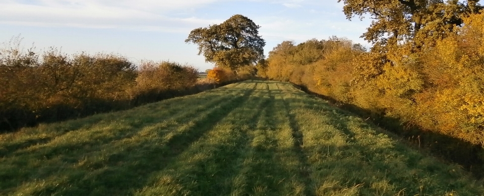
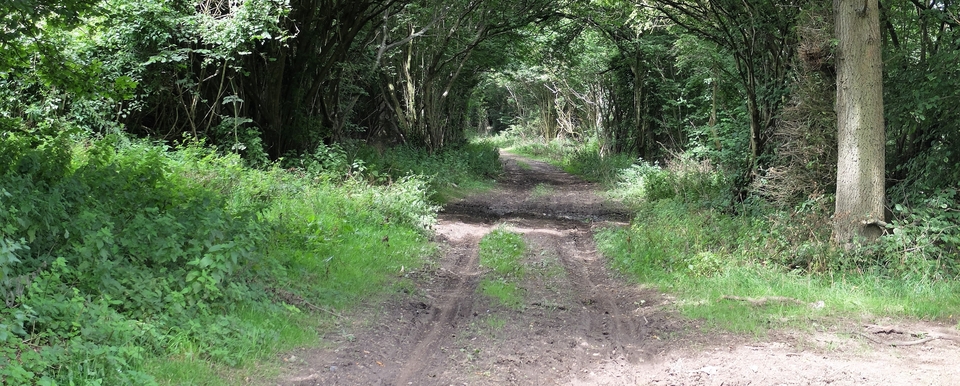
Apart from the churches, the Royal Military Canal & the Rhee Wall, there is little left of historical interest because wooden houses quickly rotted. (Romney & Walland marsh are on average only a couple of metres above sea level: Snargate is only 0.3m.) Even worse, the tracks used by the drovers to take beasts to Ashford were largely destroyed in 1914 when the Government ordered farmers to plough a third of their land to provide food for the war effort. Before then it was predominantly pasture: originally for cattle, later in the 19C for sheep.
We found that things work differently on “The Fifth Continent”, as Romney Marsh is known. For instance, the water drains inland to the Royal Military Canal rather than out to sea; the “Saxon Shore”, behind the Canal, is up to five miles from the coast; every road is a causeway, sometimes 15 feet above the fields on either side. (On the Rhee Wall the land on the seaward side has been built higher by the sand dumped against it over the years.)
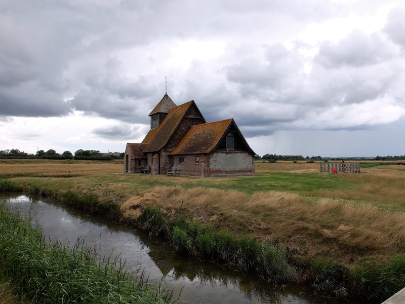
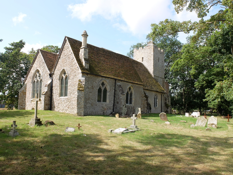
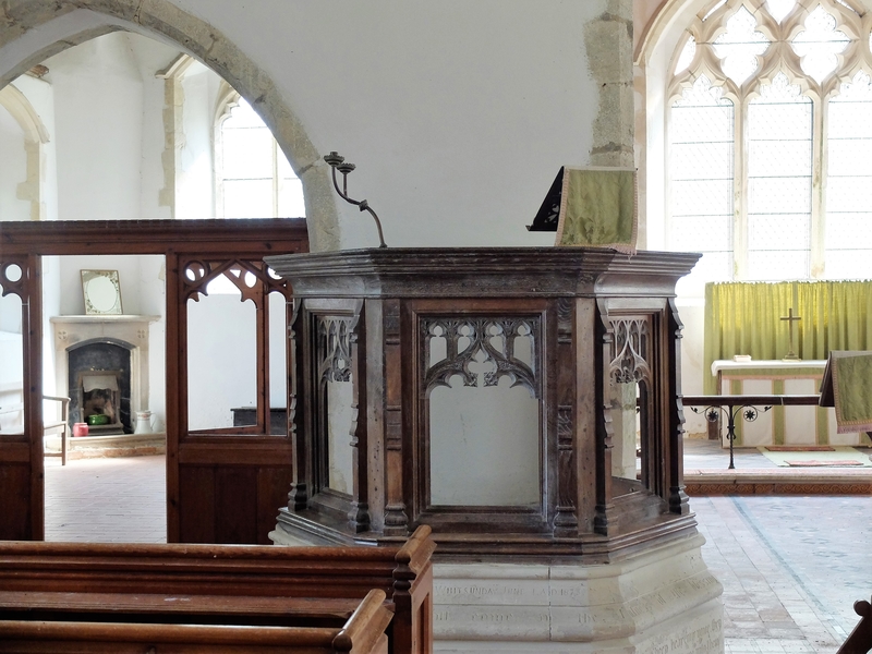
Each island-church on The Marsh – the most famous is Fairfield at TQ 967265 (#1,2) – had a harbour or creek for bringing people and building materials in by water. The spires at Bonnington and Brenzett1 were ‘lanterns': fishermen's families would climb the towers and wave lamps to guide their men into harbour. Snave church at TR 014299 has a tall chimney and a fireplace where the side-chapel would normally be (#3,4)2. This hearth could have been used by boatmen – even drovers – to dry out, but the space was also used as a school.
(There is a corresponding church with a chimney at the top of the Old Saxon Shore above Ham Street at Orlestone. The vast area around it would have been so wet in winter that the drovers' route to Ashford probably involved a ferry-crossing. About a mile south of Warehorne, at TQ 992305, is “Terry House”, given on old maps the name Ferry House. You can also find Ferry Farm at 942288.)
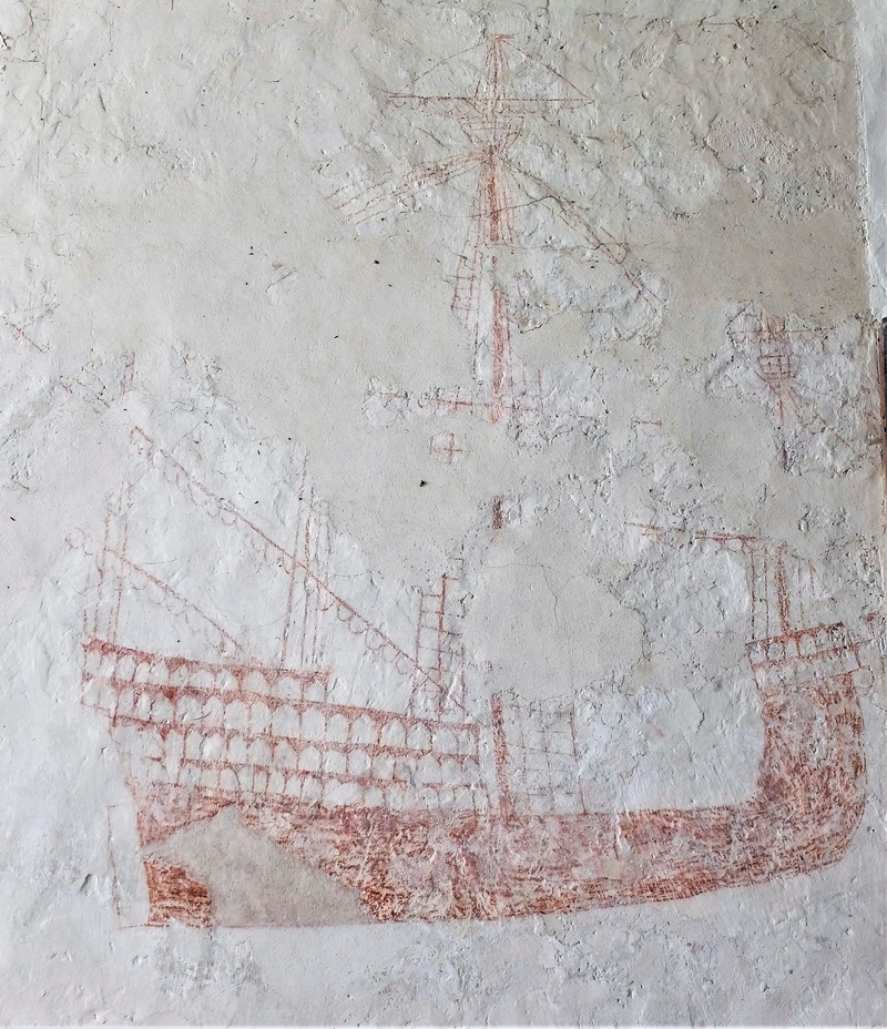
St Dunstan's Church at Snargate (991286) has a splendid C16 mural of what experts say is an 800-ton ship (#5)3. The village got its name from the sluice-gates (the snare) used to control the water level by the side of the Rhee Wall. Outside the church is the only section of the medieval canal – rhee means watercourse – to have survived. (The rest is now a roadway, mainly the A259.) The splendid vessel pictured on the wall of the church could have docked just outside (#5).
The Marsh was finally drained in 1809 with the completion of the Royal Military Canal – or “Mr Pitt's Ditch”, as the locals fondly called it. Napoleon was responsible, in a way. Lt-Col Brown of the Royal Staff Corps suggested a canal would make the S-E easier to defend from a French attack and William Pitt persuaded the landowners it was a good idea. They surely would not have needed much persuasion; the area was waterlogged and so infested with mosquitoes that malaria (“marsh fever”) was common.4 Before the RMC, #2 would have been the usual view of Fairfield rather than the exception.
(I must admit here that I would have thought a large marshy area would have put off Napoleon far more successfully than open fields & a canal. Obviously not!)
In 1700 about 17,000 cattle were pastured on the Marsh; a century later this number had risen by a factor of ten! By the 1930's it was sheep (10K a day in season) that were being loaded on to trains at Lyminge Station. What a shame that traces of either beast from earlier centuries cannot be found on The Marsh.
Thank you, Jak, for editing my original copy and providing us with so much we would have missed.
1 Wat Tyler's men gathered there in 1381
2 Could the hearth & chimney have been a later addition? The Church guide book says it was a school and there is a piscina on the opposite wall...
3 The size of The Golden Hind, which took Drake round the world.
4 No malaria since before the war because a playwright imported 12 marsh frogs from Hungary, which immediately escaped and ate all the mosquitoes. Trouble is, the frogs have bred in millions and make a horrible cackling noise which drives people mad.