Oxford Lane - 3
(For the first two articles on the Oxford Lane, see under 'Northants'.)
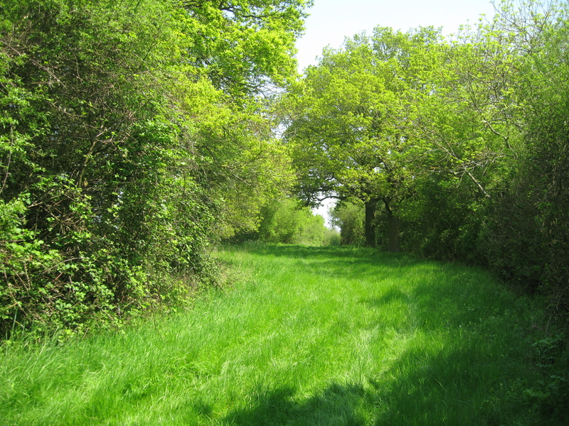
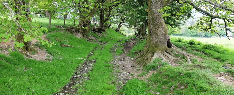
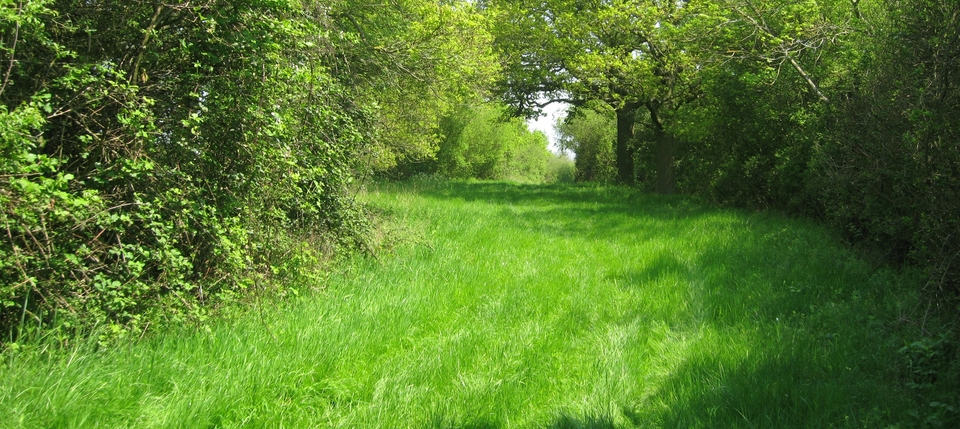
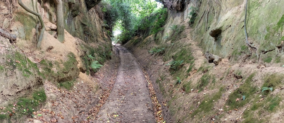
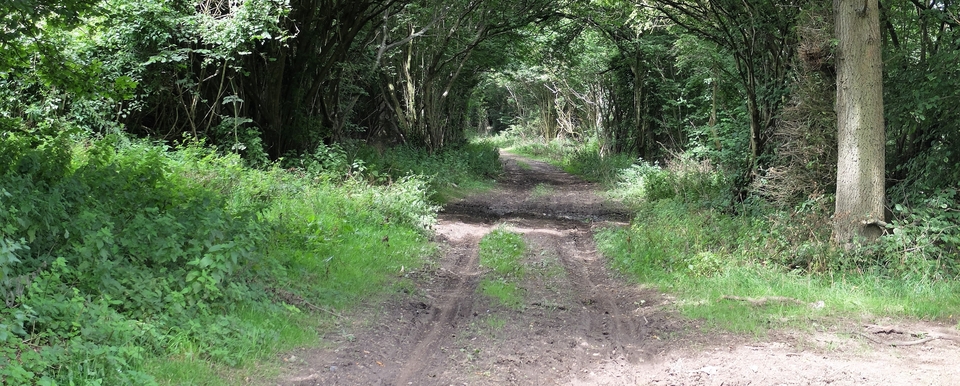
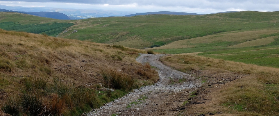
Having vanished into the fields of South Northants at Weedon Lois, the Oxford Lane reappears with a flourish at Oving Hill Farm (SP 704 194), and the one-kilometre stretch down to the A41 from there is as beautiful as an old drovers' road can get. It's private land belonging to Colin Benford, the farmer, but he was kind enough to allow me to walk it.
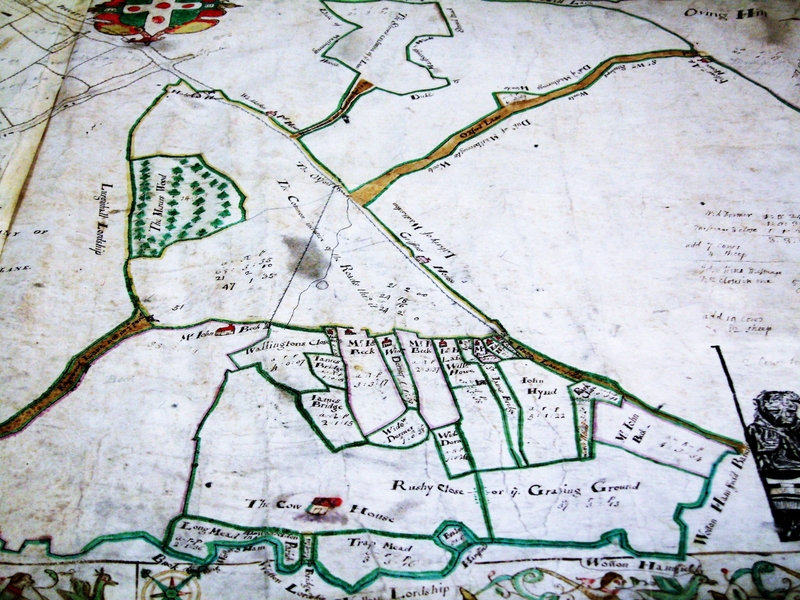
The farm was once called the "Fellows Alehouse"1 You can see it (just) on a map of 1743 (#1) and close-up in #2; it's upside down in the top RH corner of both pictures. What strikes me about the maps is how much more important the "Oxford Lane" looks than Akeman St., the A41 from Bicester to Aylesbury that crosses it at rightangles.
The alehouse seems to have been a collecting point for beasts. The dark markings on the lane are probably fences to separate the droves. And, as you can see from #3, the width of the lane near the farm is 100 foot at least.
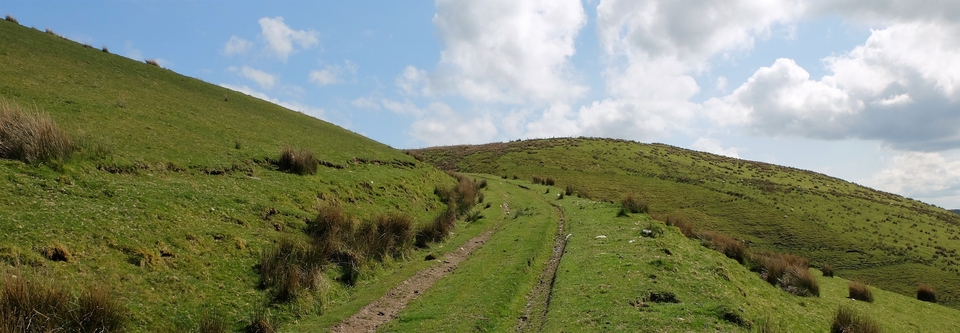
The Lane gets harder to follow south of the A41 because Wotton Underwood, seat of famous ex-politicians, gets in the way and won't let you through. But, to be fair, there is what appears to be a no-through area of commons in 1743. Then it resumes its way south as "Kingswood Lane", (see Oxford Lane – 4).
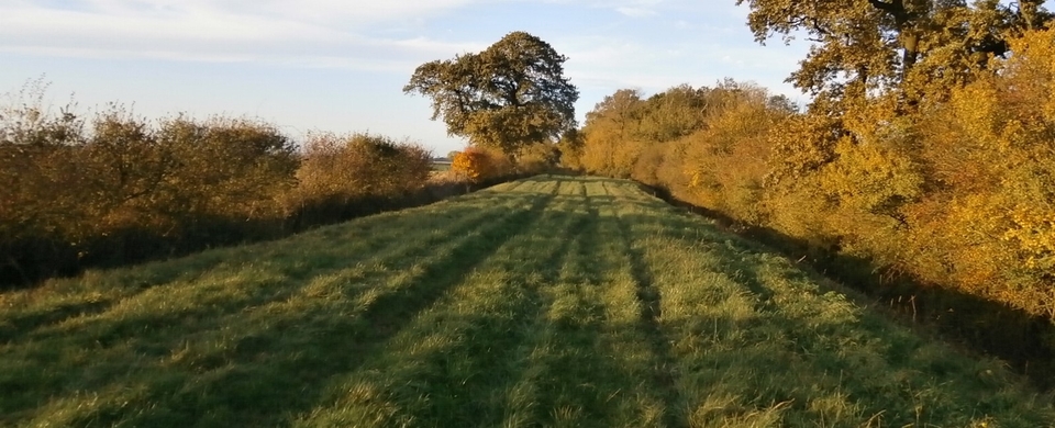
The last two photos are self-explanatory: England at its best on a glorious summer's day.
1 The Fellows family were the licensed owners according to records at Aylesbury.