Maisemore
MAISEMORE
If drovers were aiming for Gloucester or Bristol, they would have used the grazing at Maisemore. (Mais mawr is Welsh for ‘great field'.)
There the Severn divides in two at the Upper Parting (SO 822 215) and joins up with itself again two miles downstream (at – you've guessed it – the Lower Parting). The bone-shaped area between the Partings, just north of Gloucester, is 100 acres of rich grassland known as Alney Island. Perfect fodder for the Welsh droves.
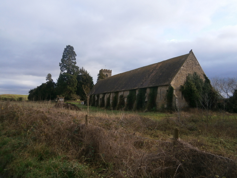
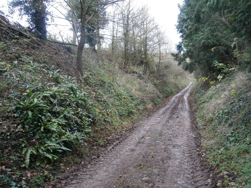
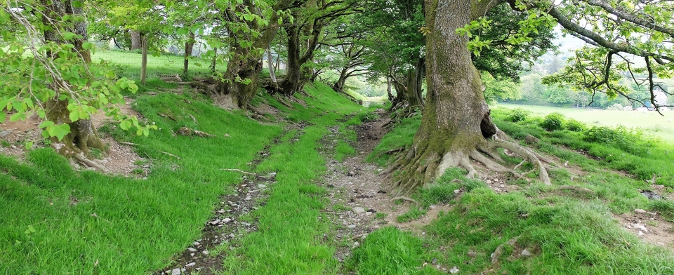
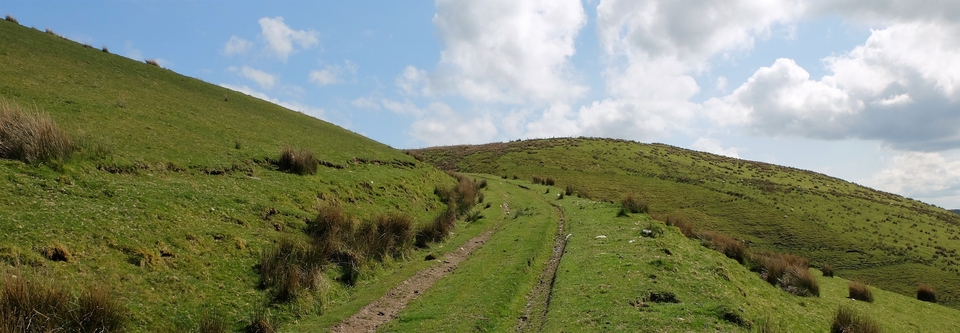
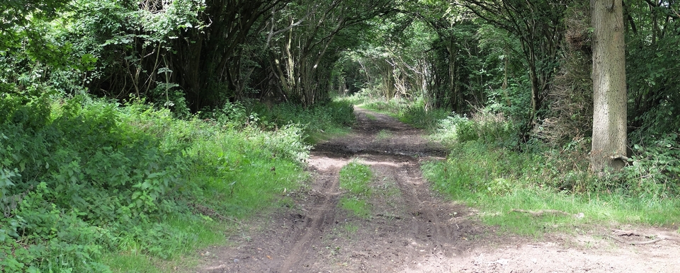
First, though, wander through Hartpury, and look at the tithe barn. The gables are topped at the east end with the English lion, at the west with the Welsh dragon (which you can just see in #1). Then look at the mill and the well-kept church with the great stone beehive behind it. After that, walk to Murrell's End (SO 788223), where the green lane to Maisemore starts (#2). The remains of Roman paving have been found along the route.
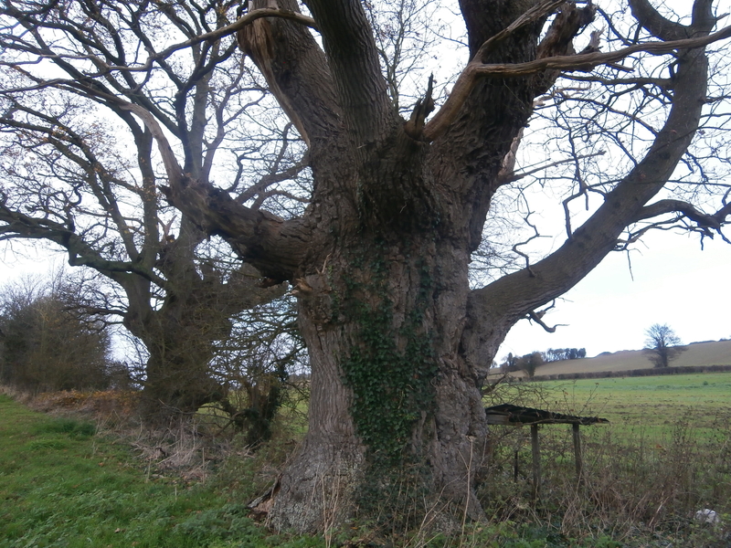
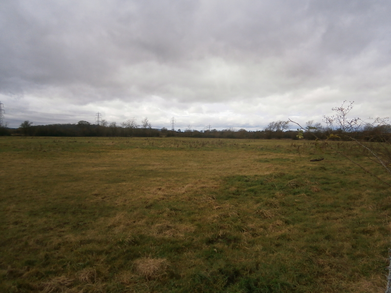
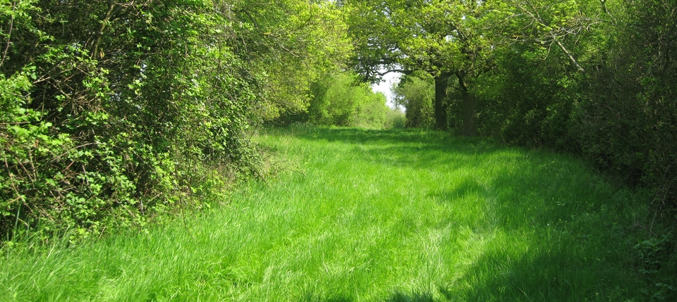
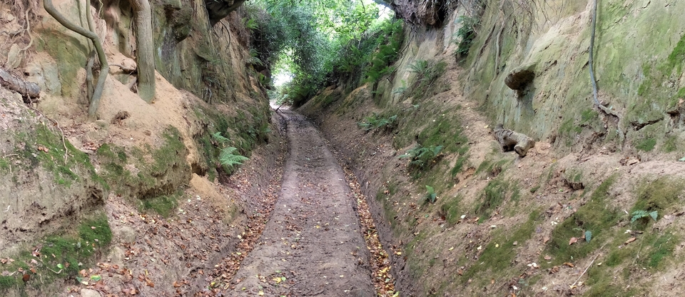
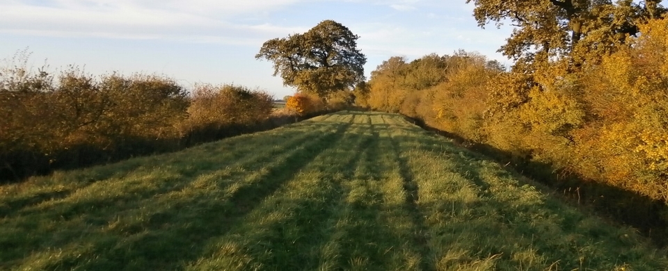
Go past the two old men in #3 – 800+ years old – and on through the village. The flat pasture (#4,5) after Maisemore Bridge often floods, but crossing the Severn in two halves was better than losing cattle in the great river.
(There don't appear to have been tolls on and off Alney either, but correct me if I'm wrong.)