Dorset Ravines
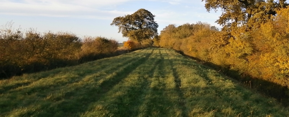
At first sight, the face of South-west Dorset between Bridport and Lyme is an innocent, pastoral landscape. As normal as England gets, you might say. But look closely...
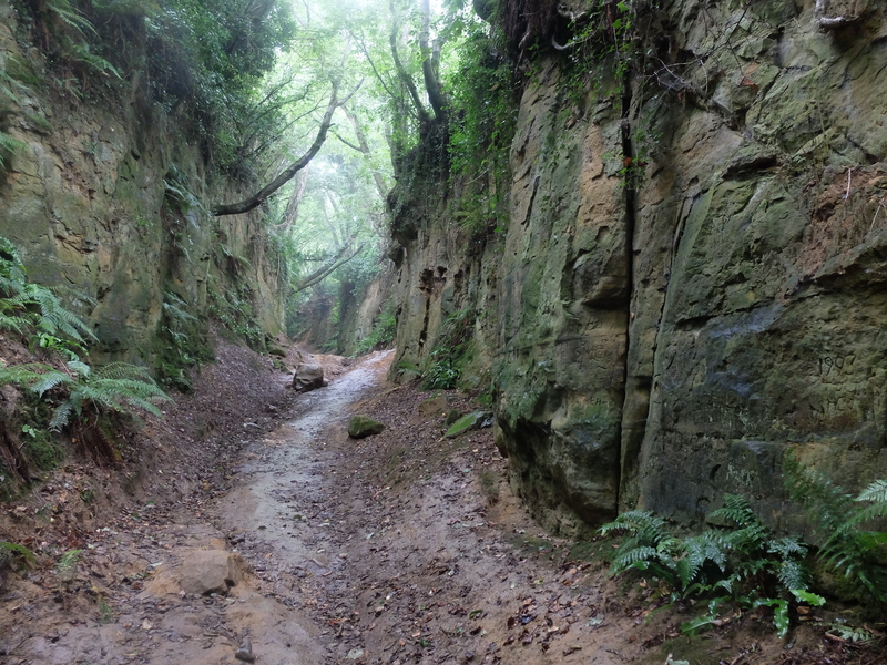
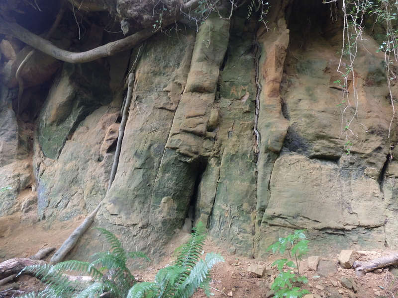
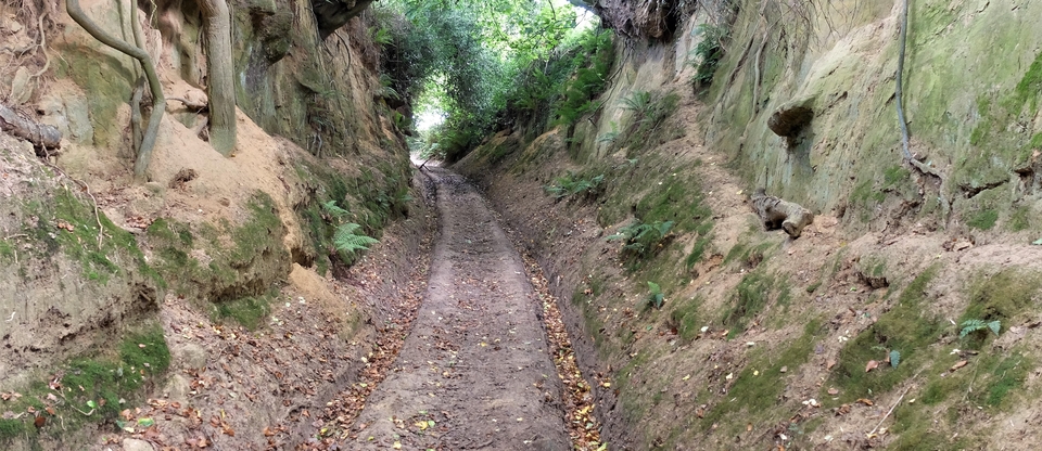
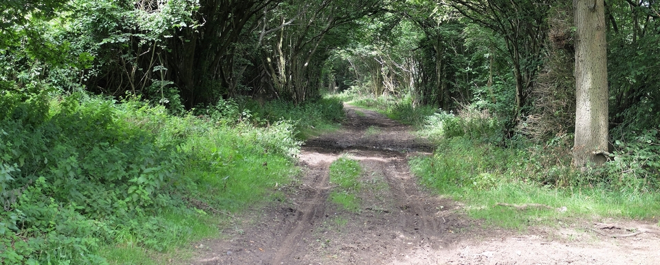
...Hidden between the folds of these gentle hills are tracks which come from a lost world; mysterious sandstone holloways carved by generations of men, beasts and carts. The cliffs either side soar vertically 25 feet or more, held together at the top by grotesquely tangled roots of trees that should have lost their grip and fallen into the ravine years ago if nature's normal rules applied. To walk these paths is almost an otherworldly experience. We didn't quite expect T. Rex to come round the corner, but he'd fit.
(Locals, I have been advised, call these ravines 'holloways', nothing more dramatic than that. Well I agree that the Melplash example (#5) is a fairly typical holloway, but the others are not... It's not their depth that mark them out, but the fact that the cliffs - and I mean cliffs - rise vertically from the path, as if a torrent has been roaring through for a few thousand years. Brian Earl, curator at Beaminster Museum - which is well worth a visit - reckons carts have done it: just as huge modern tractors have carved vertical-sided passageways through Devon lanes they are too wide for.)
They have long been noted. In the 1980's, Geoffrey Wright saw some graffiti from 1801 (we failed) and Gilbert White wrote in 1788: “These rugged, gloomy scenes affright the ladies when they peep down into them from the paths above...”
Who made them? Dorset is too deeply rooted in history to be certain. Roman legions, farmers, drovers, smugglers, waggoners, coffin bearers – all doubtless contributed to the depth of these ravines. If droving was involved (rather than merely driving to market or upland pasture) it was probably pigs: from Cornwall, we were told by Brian Earl1. He said they used to be driven from the Broadwindsor direction down Common Water Lane to rest & fatten up before sale in Dorchester.
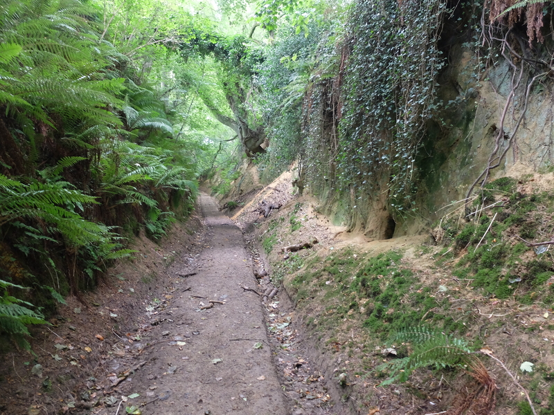
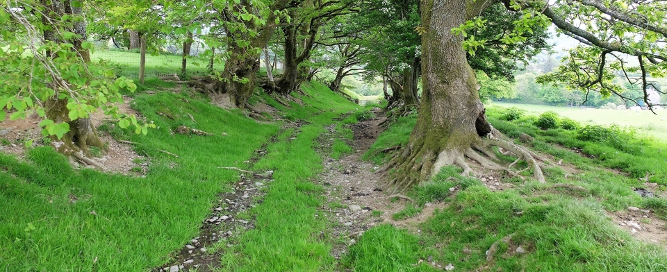
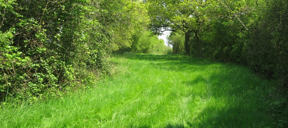
The first two pictures are of what used to be called “Shute's Lane”, Symondsbury, starting at ST 444937. It turns into Hell Lane - the name fits - and gets better & better.
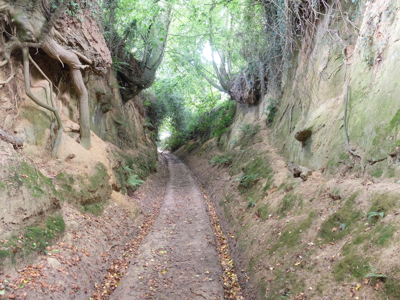
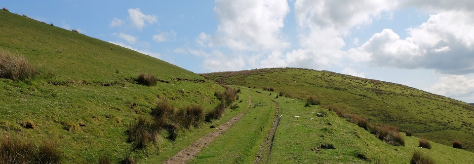
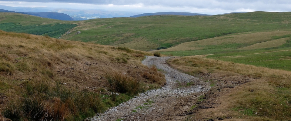
The next two are of “Woods Lane”, going in the one o'clock direction up Gerrard's Hill outside Stoke Abbott, starting at 461005. It plunges up the slope then stops abruptly at the Wessex Ridgeway. Just half a mile; not a quick half-mile, because our eyes were on stalks and the cameras were a-clicking-o...2
The last is a single-file path that comes down into Melplash at 493983.
Some terrific pictures can be found on Terry Yarrow's
https://thedorsetrambler.com/2015/02/20/holloways-and-sunken-paths-the-mysterious-ancient-highways/
(The link doesn't seem to operate, but look at The Dorset Rambler anyway.)
1 Beaminster has a Hogshill.
2 This route is not marked as a public right-of-way on the OS maps.