Ditchedge Lane
Ditchedge Lane, dividing Oxfordshire & Warwickshire, is part of an old trading route going virtually due south from Southam to Chipping Norton1. It was used by sheep-drovers, packhorse dealers and anyone with goods to sell. Chippy was a big local market and the importance of the route is shown by the many tracks that join it from villages at either side.
The whole route went: Southam – Knightcote – The Dassett Hills on the M40 – Edgehill; then it passed east of Middle Tysoe to Over Norton & Chippy. Ditchedge is the only green stretch surviving.
We started at Traitors Ford, SP 336365, and walked north. The ‘traitors' were supposedly Roundheads dragged up from the ford to Gallow Hill for execution, but historians have suggested a corruption of ‘traders', which I (naturally) prefer.
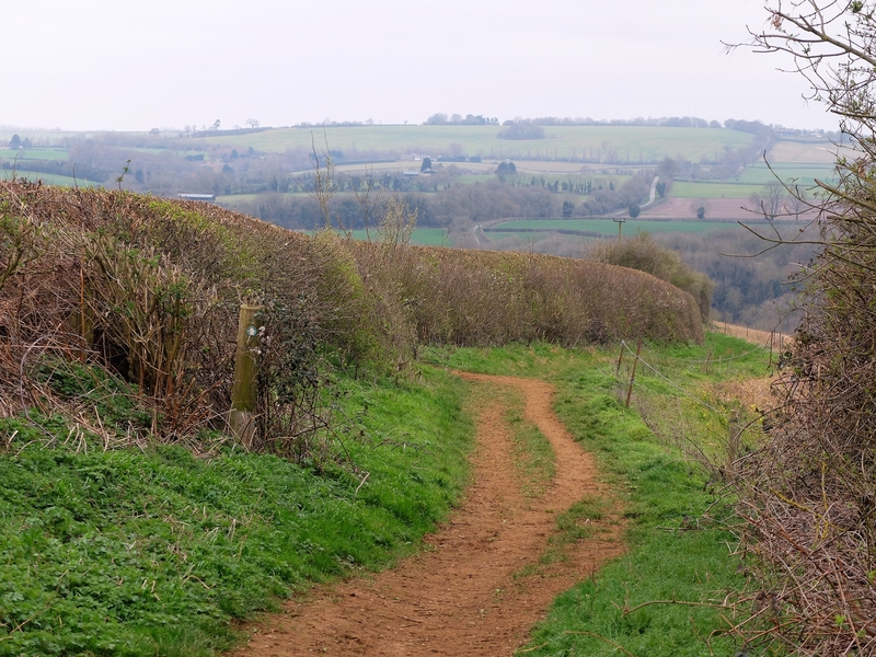
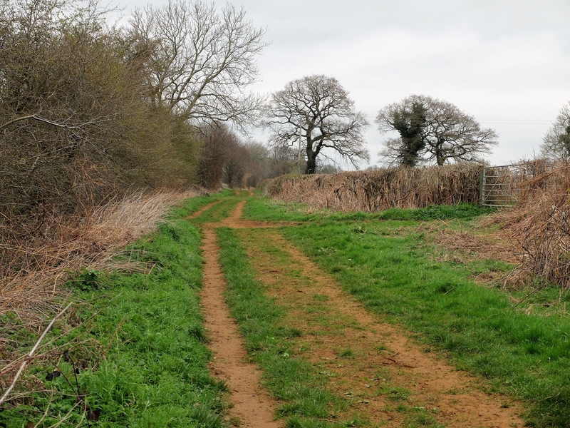
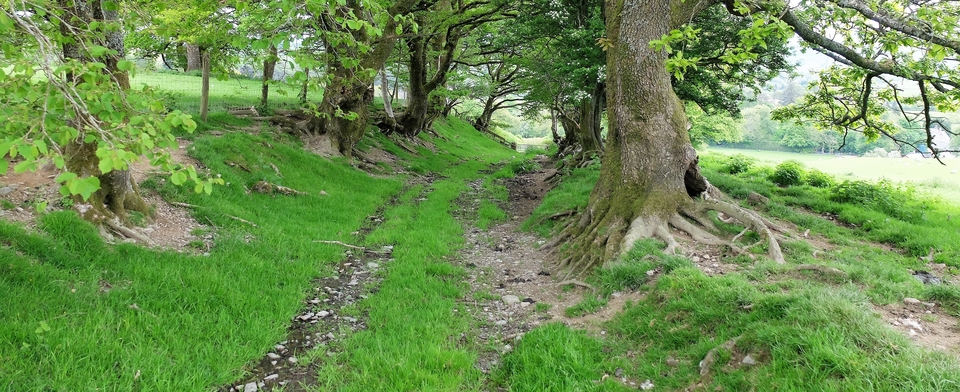
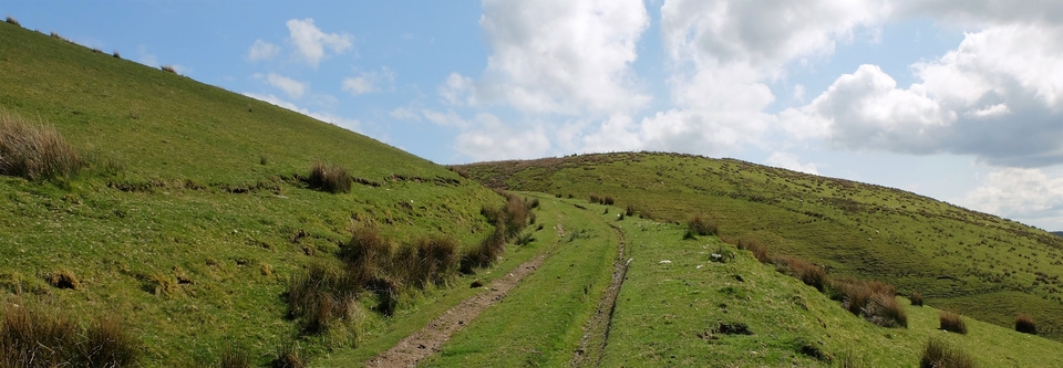
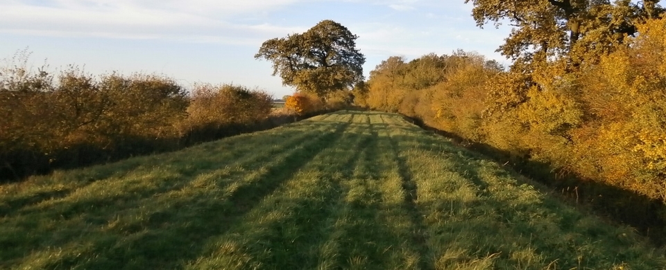
Once on top, the track opens and continues wide for over a mile on the ironstone soil. #1 looks back at the road winding south to Chippy, #2 the lane looking north. The gloomy day didn't do it justice; it's a great, great walk.
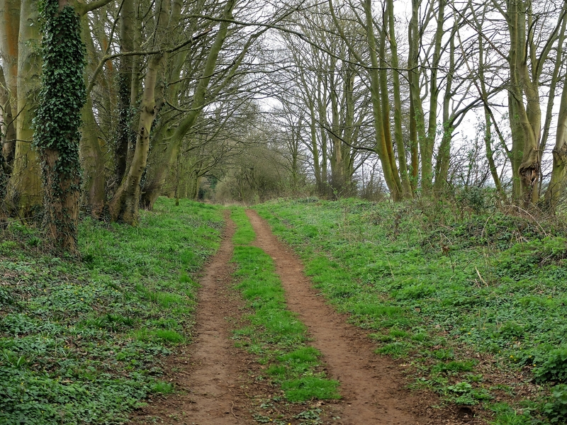
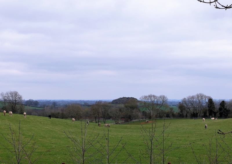
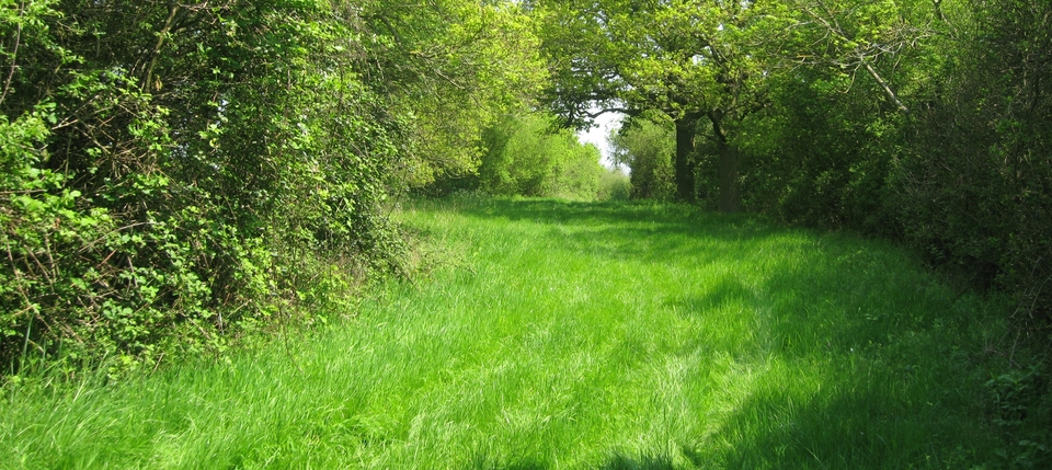
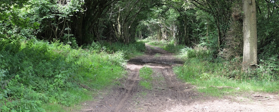
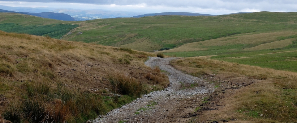
It joins the tarmac for a hundred metres, then reverts to green (#3) until a dead end at 346404, from where there is a good view of Shenlow Hill which the old route skirted to the west (#4). The wide hollow in the foreground of #4 suggests the continuation of the old road...or is that wishful thinking?
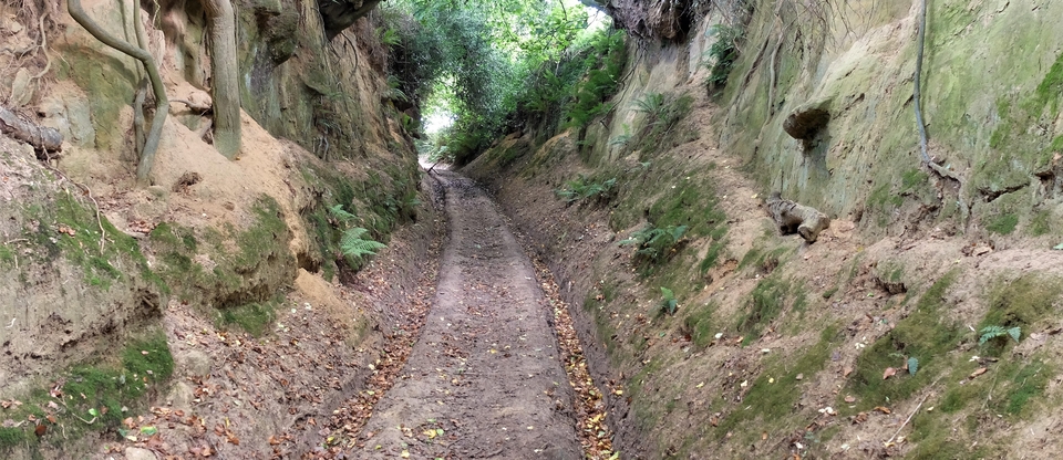
We returned via a deep holloway leading down to Sibford Ferris at 342386 (#5) and had a good lunch at the pub before returning to TF via Haynes's Barn.
Note: must repeat in early summer…
1 I have no documentary evidence for this, merely word of mouth. Anyone know more?