Chippy to Stonesfield Saltway
The salt way around Chipping Norton is a curious and awkward beast. Curious because common sense says it should include Salford (salt + ford) at SP 2928. But if you include Salford, the beast loops over the top of Chippy to Over Norton in a due east direction before diving SSE off the A44 near Chapel House Farm at 330279. Old roads are usually more direct. Maybe it had two branches; maybe the saltmen wanted to avoid tolls...?
Awkward because it is criss-crossed with roads and even joins one (the B4026) for half a mile; becomes an uninteresting gravel drive past Ditchley Park and only gets consistent at 380206, miles from the start. Also, before that, there is a long walk up the drive to New Chalford farm (331267) and a plod across a twenty-five-acre field after it.
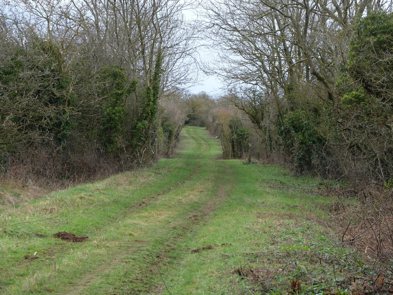
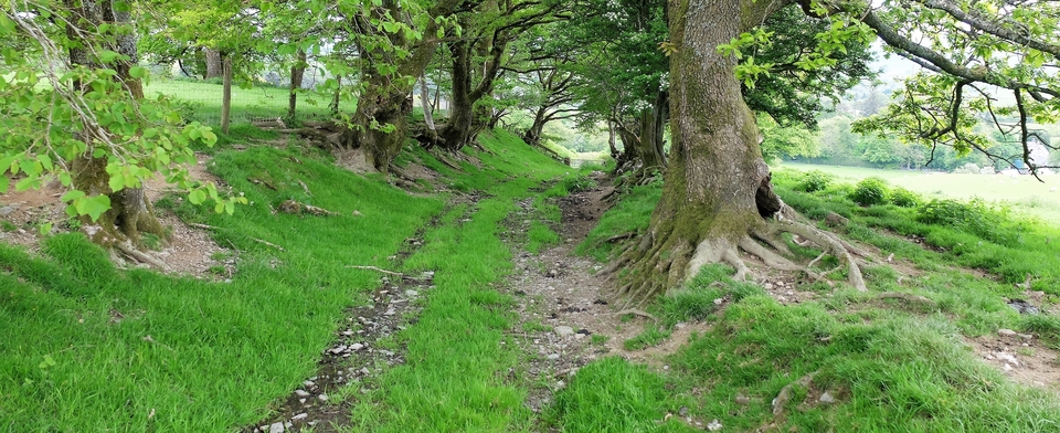
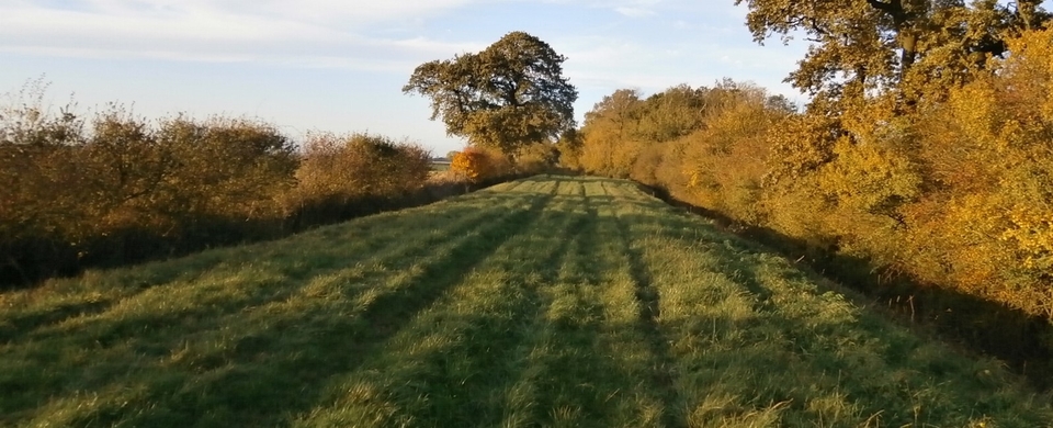
But the mile-long stretch between the field and the 4026 is lined with springtime violets of all colours – blue, white and, well, er, violet. All a bit too bashful for my unprofessional camera. (#1)
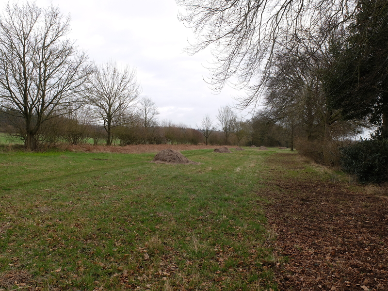
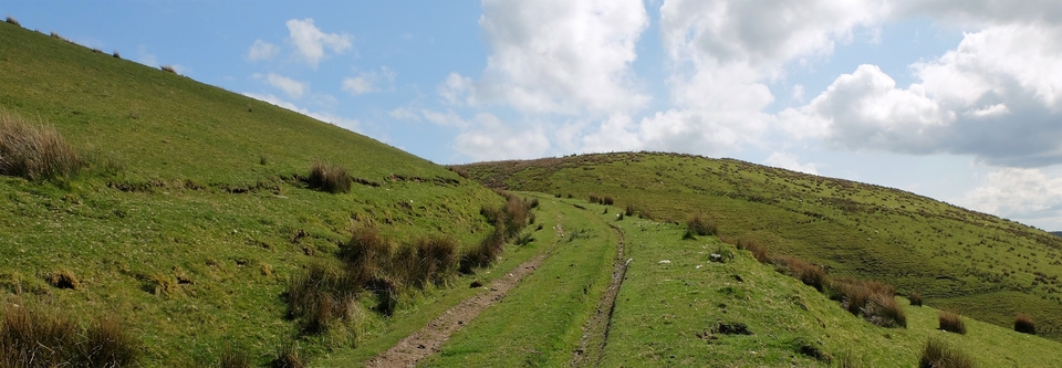
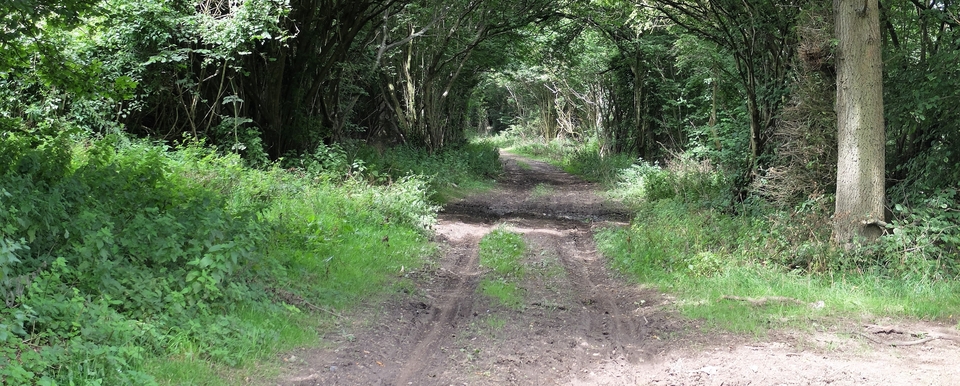
The information boards aren't a great help. They say the salt way was ‘probably' used by drovers - no ‘probably' about it with a width like that (#2). They also say it leads to Princes Risborough “from where the salt was redistributed to local towns and cities.” Really? Was P.R. really a salt-distribution centre? Oxford seemed a far more likely destination until we contacted Ann Cole, as usual when floundering...
Ann told us that only certain towns had "salt rights" and that it's a complete mystery how these rights were granted. Maybe they provided coppiced wood for the carts & packhorses on their return journeys1; maybe ancient land ownership tied certain places to Droitwich...we just don't know. All we do know is that PR was a town with salt rights.
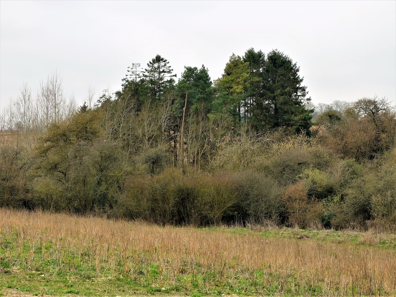
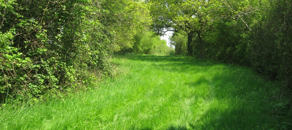
So why on earth am I writing about this darned track? Well, it gets interesting as you go further south from 381200 down to Stonesfield. It's wide, it's such an obvious drovers' road (#3) and the final stretch from 391188 south was called Ruddy Lane. Which leads to Ruddy Well.
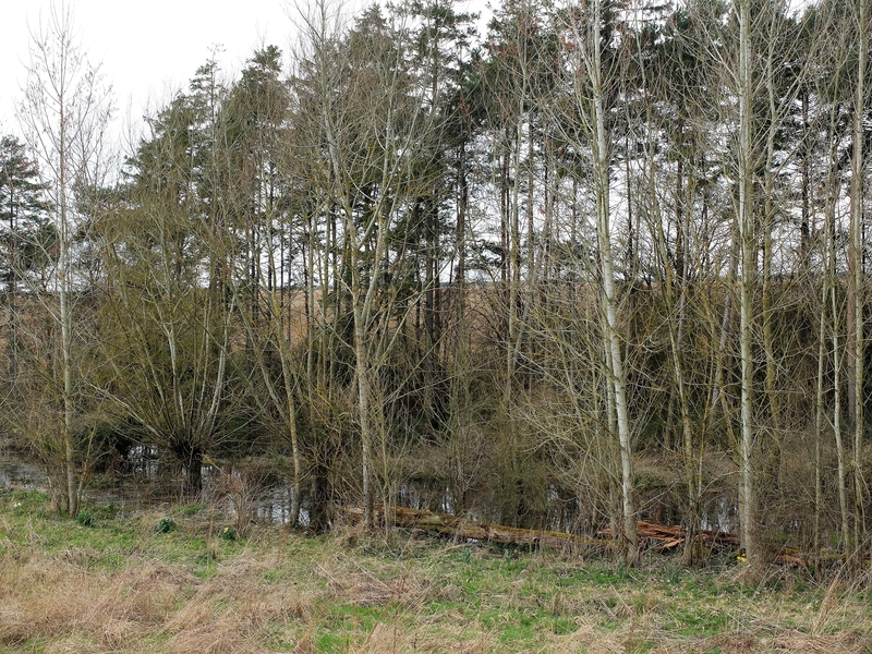
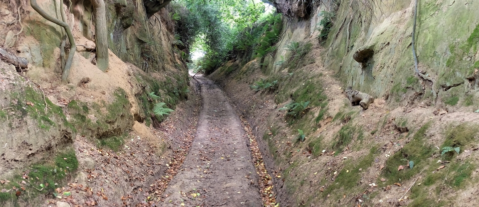
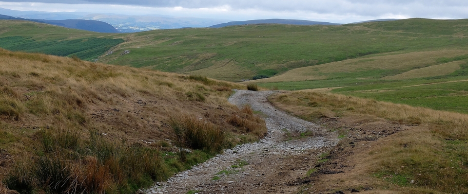
So Ruddy What? you may say. Answer: ruddy is a corruption of “hryther”, Old English for horned beast/cattle2. The spring at R.W. (#4 and 5) may have been used by itinerant cattle before it was used by the village of Stonesfield. there are even pines there to guide the drovers to water.
May 2019
David Ella has just been in touch.
According to David, the salt route described here was used in preference to the ridgeway from Chippy to Woodstock (now the A44) before the latter was turnpiked. Less danger from highwaymen on the well-used saltway, perhaps?
1 The wood was used as fuel to dry out the salt.
2 Ann had shown us Ruddy Well 2 years ago.